Everest Base Camp. EBC they call it. I’ve seen pictures and dreamt of visiting this highly elevated location (no pun intended). Now here I am, en route…

I leave Lhasa to the Everest Base Camp via Shigatze. There are 11 of us in this bus and after five days together in Lhasa, we have become good friends and happy travelers!
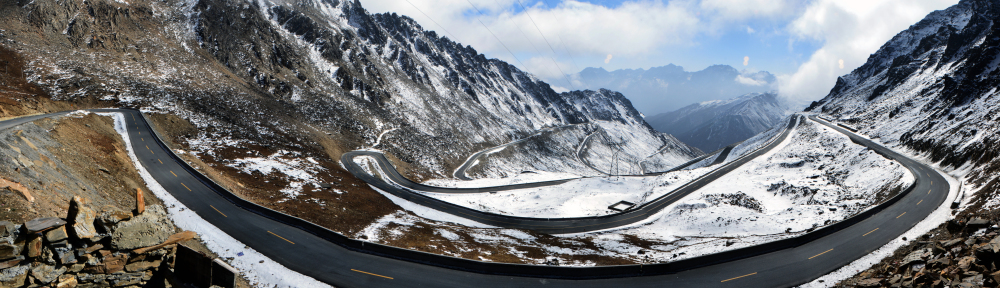 Tibet is located on the Tibetan Plateau, the world’s highest region. This mountainous region is speckled with life-giving rivers, spectacular lakes and the most amazing views. And the winding road network is a sight to behold!
The drive to Shigatze is 360 kms long but we stop many times to take in the sights, to ogle at the amazing landscape and to take lots of pictures.
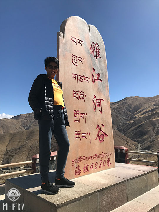
We come to the Gangbala Pass via the Southern Friendship Highway that weaves its way through mountains and precipices to an elevation of 4280m. It’s cold and windy and yet, so beautiful.
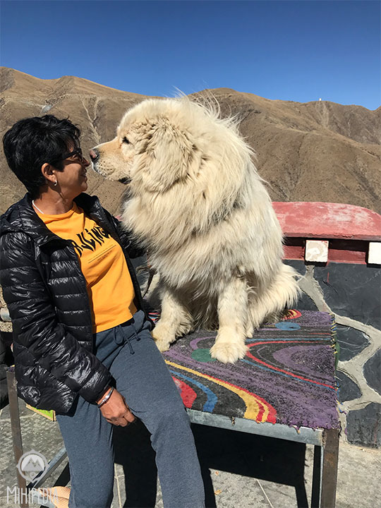
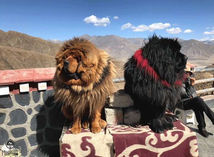
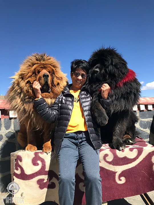
They call it a “tourist trap” but I think this just made my day! These enormous, fluffy and extremely friendly Tibetan Mastiffs originated from the nomadic cultures of Tibet, China, Mongolia and Nepal and were used to protect sheep from other predatory animals. Along the way, they can be spotted sitting on rocks, looking so much like lions!
One of the legends of the Tibetan Mastiff is that they are the reincarnations of people who have not reached the next level of enlightenment, and come back as dogs to protect the Tibetan people and animals. According to another legend, the land was covered in snow and ice, and a plague was rampant throughout the land. The legend says that a heavenly god came down from the heavens riding a Tibetan Mastiff, and thawed the ice and snow, bringing the land back to life and saving the people.
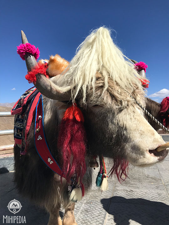
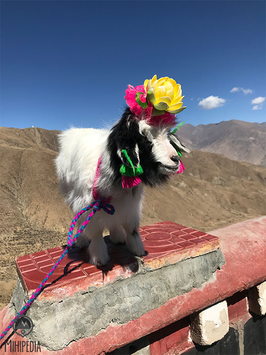
Also on show are the famous Yak and Mountain Goats.


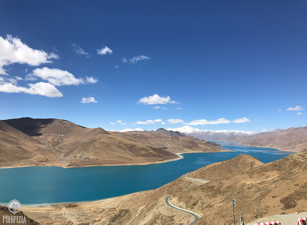

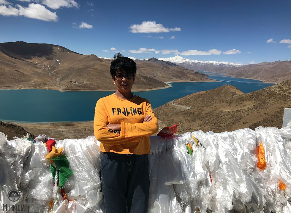
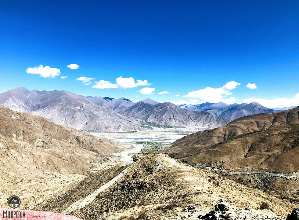
From here, we continue onto the serene and stunning turquoise blue Yamdrok Lake. The altitude here is 4400m and the air gets colder. This freshwater lake is one of the three largest sacred lakes in Tibet because it is supposed to be guarded by the goddess Dorje Gegkyi Tso.

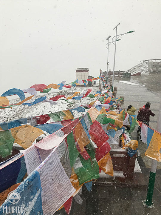
Along this winding road that snakes its way through more mountains and valleys is the Simila Pass. We are now at an altitude of 4330m. This pass is unique as it has countless Tibetan prayer flags decorating its rock facades.

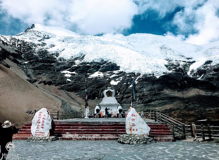
About two hours of driving from Yamdrok lake, somewhere between Lhasa and Shigatze, we pass through Gyantse County and come to the ice-capped Karola Glacier. Considered to be the lowest glacier in central Tibet, it is, however, the biggest glacier at 9.4 square kilometers and reaching a height of 5,560 meters. All this immensity makes me wonder what a small part we play on this planet.


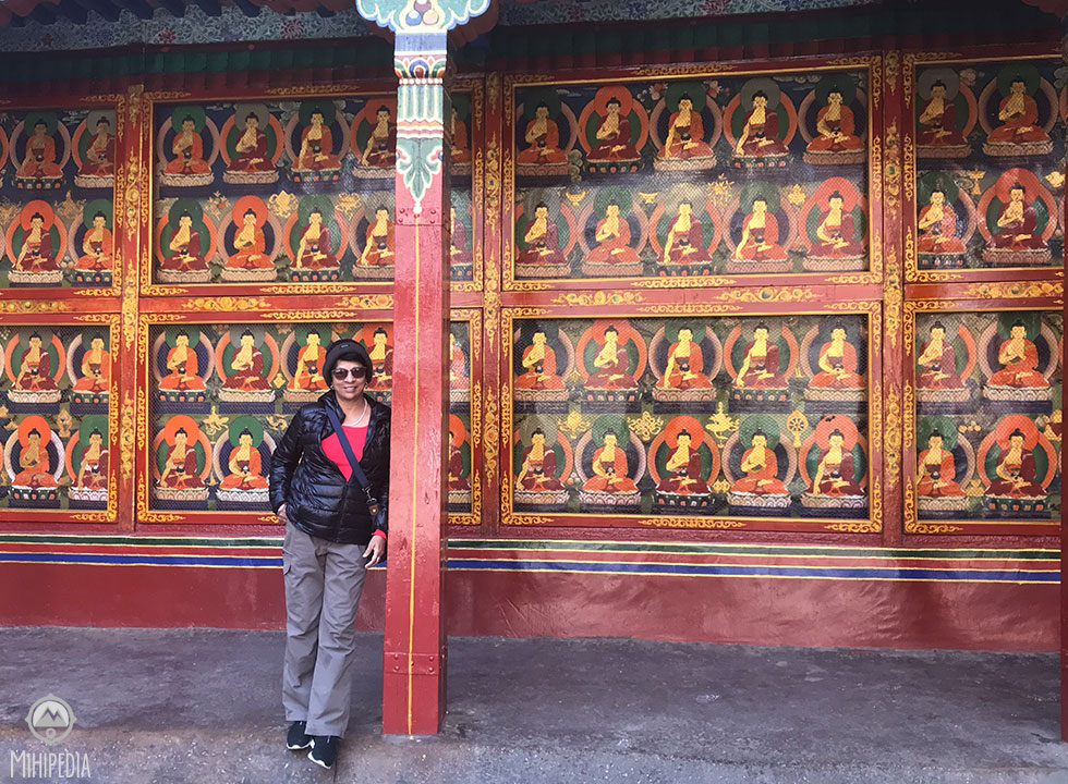
Reminiscent of ancient Tibet, the Gyantse Kumbum is like going back in time. Tibetans dressed in traditional garb walk by silently, lost in their thoughts or murmuring their prayers. The Kumbum stupa is a 32m- high chörten with its white layers trimmed with decorative stripes and crown-like golden dome. Upon entering, I follow a clockwise route marked by red arrows that leads me up through the six floors, taking in the dozens of tiny chapels that recede into the walls along the way.
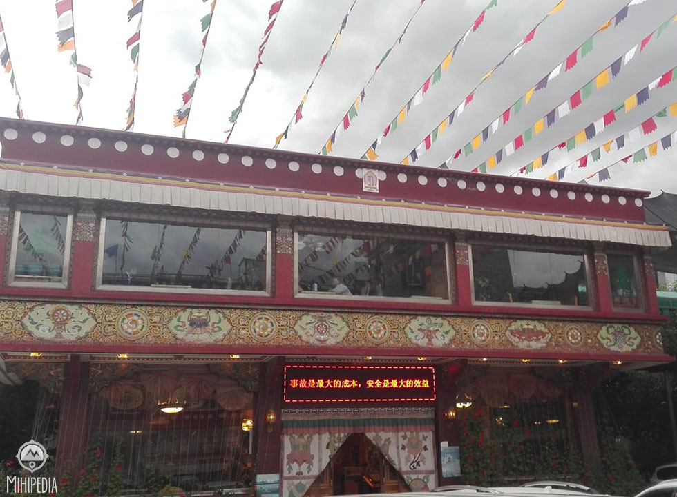
We finally arrive at Shigatse for the night and check in to the Manasarovar Hotel, a typical Tibetan-styled hotel. After almost eight hours on the road, I am glad to lay down and get some sleep.
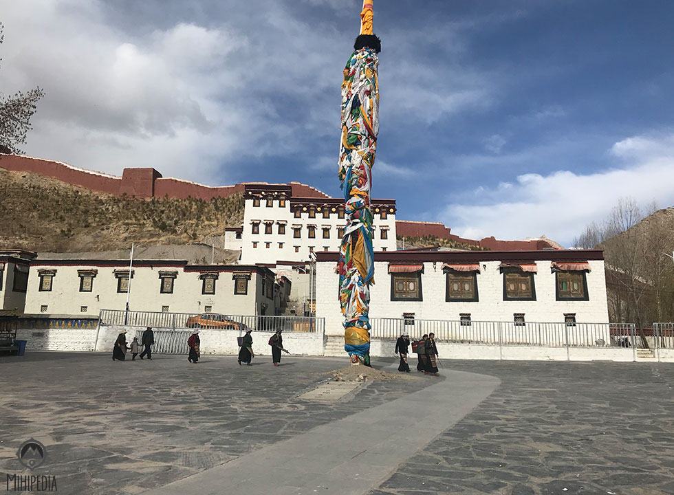
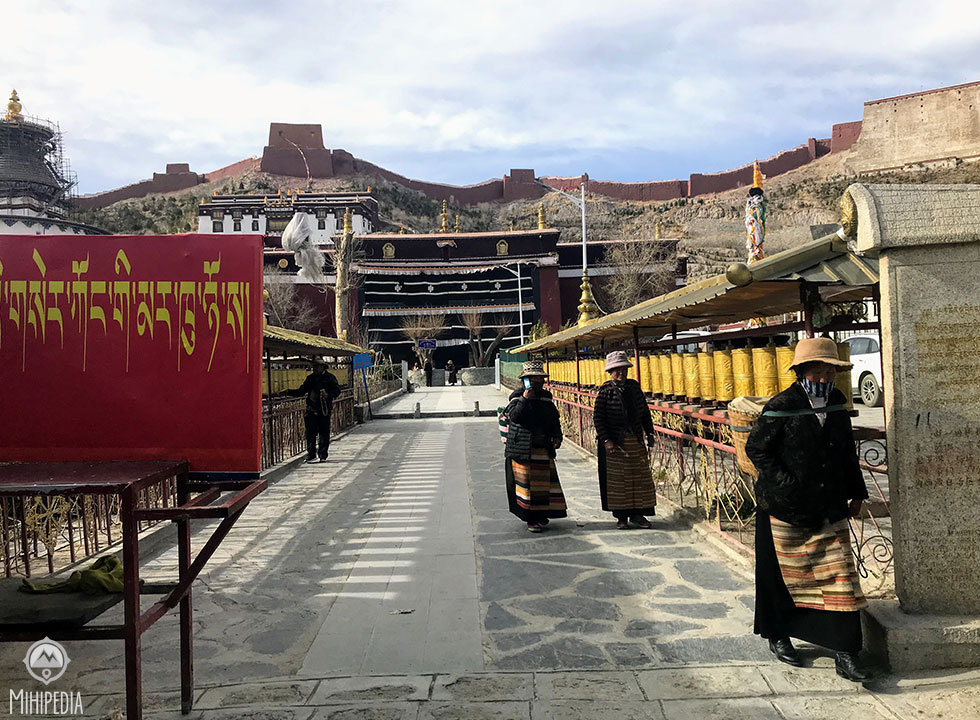
Up early for a hot breakfast, but before we get back on the road again for the remaining 370 kms, we visit the Tashilhunpo Monastery.
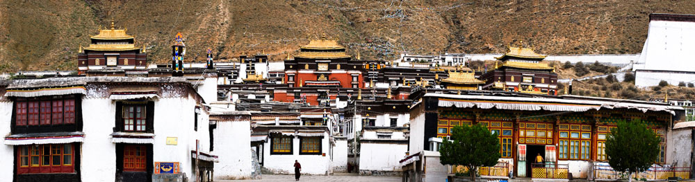


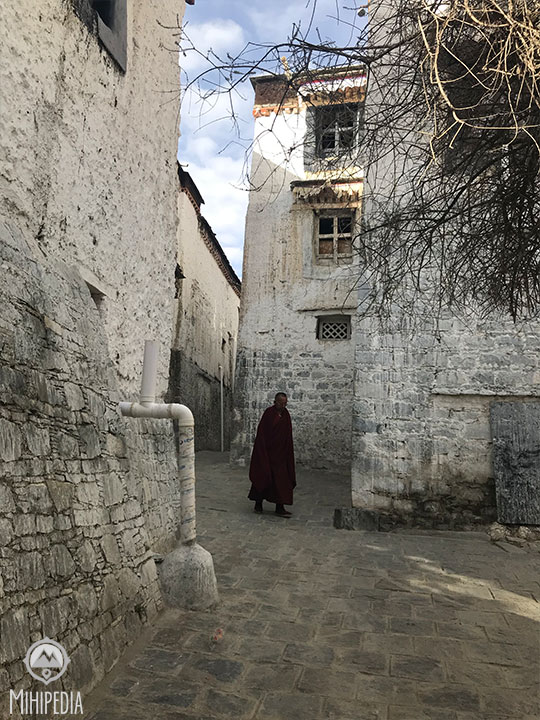
One of the few monasteries to survive the Cultural Revolution, the Tashilhunpo looks plain on the outside. But twisting cobble-stone paths take me around aged buildings into one of the largest religious places in Tibet. It is over 70,000 sq mts and is home to about 950 monks.
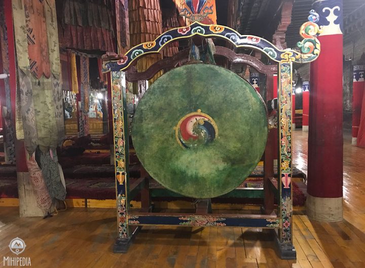
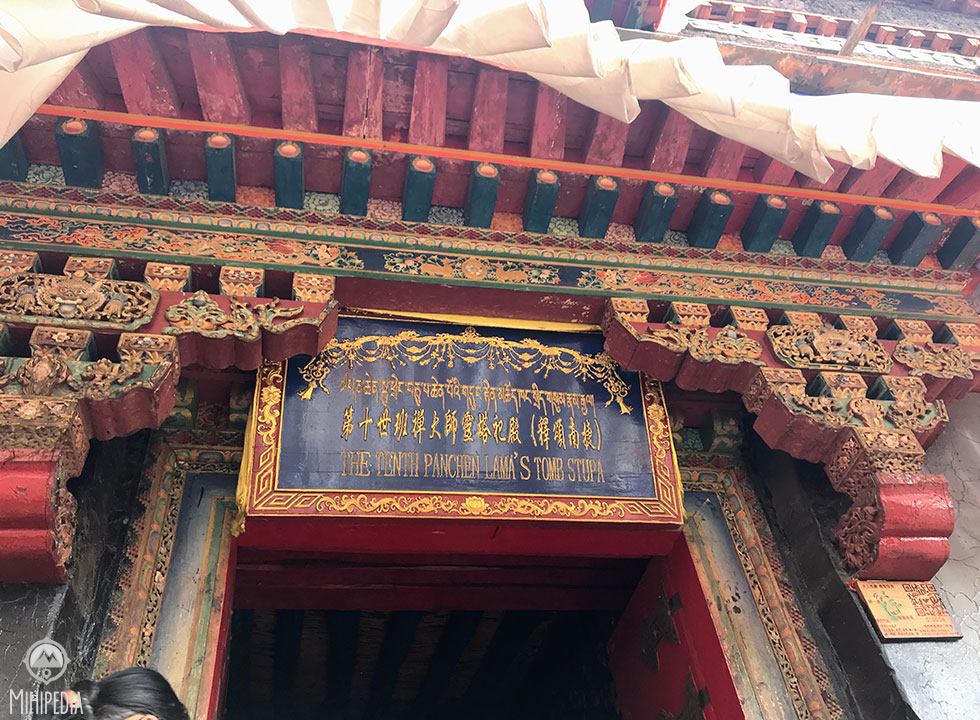 I enter the tomb of the 10th Panchen Lama, who died in 1989. His statue is displayed on top of the tomb. Unfortunately, photographs are strictly forbidden inside this monastery.
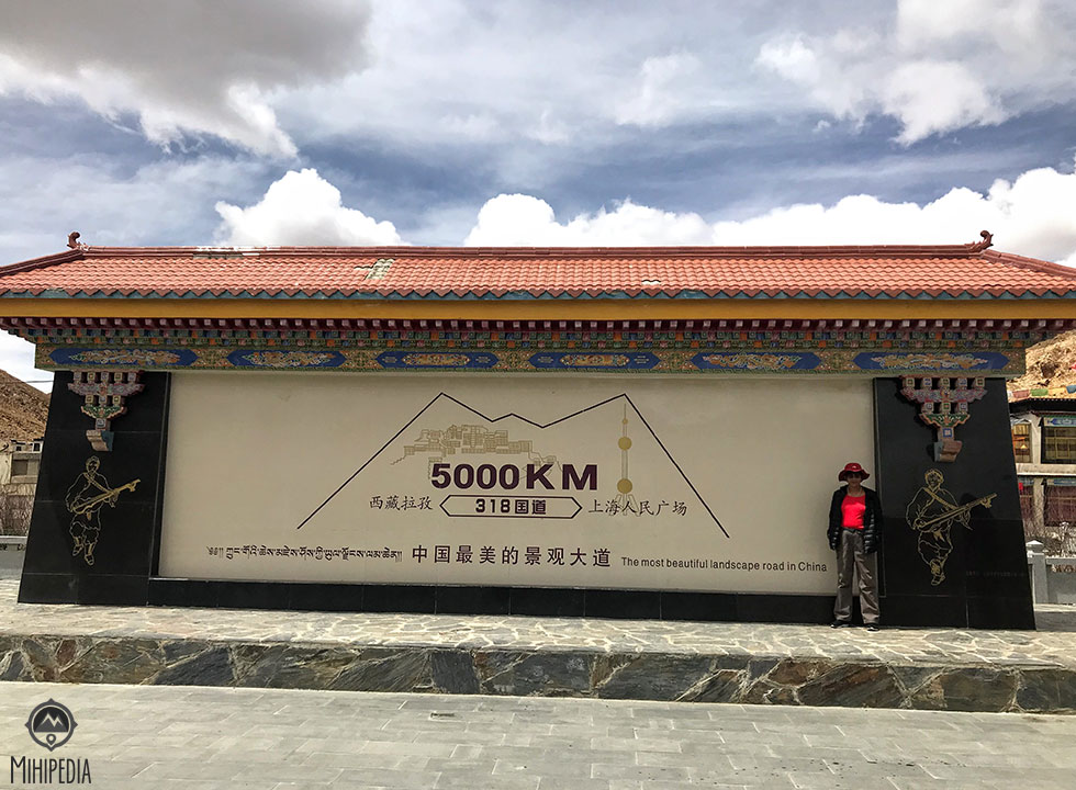 Back on the bus, we settle down to the long ride ahead. We soon come across a large monument that informs us we have now reached 5000kms- the distance from Shanghai!
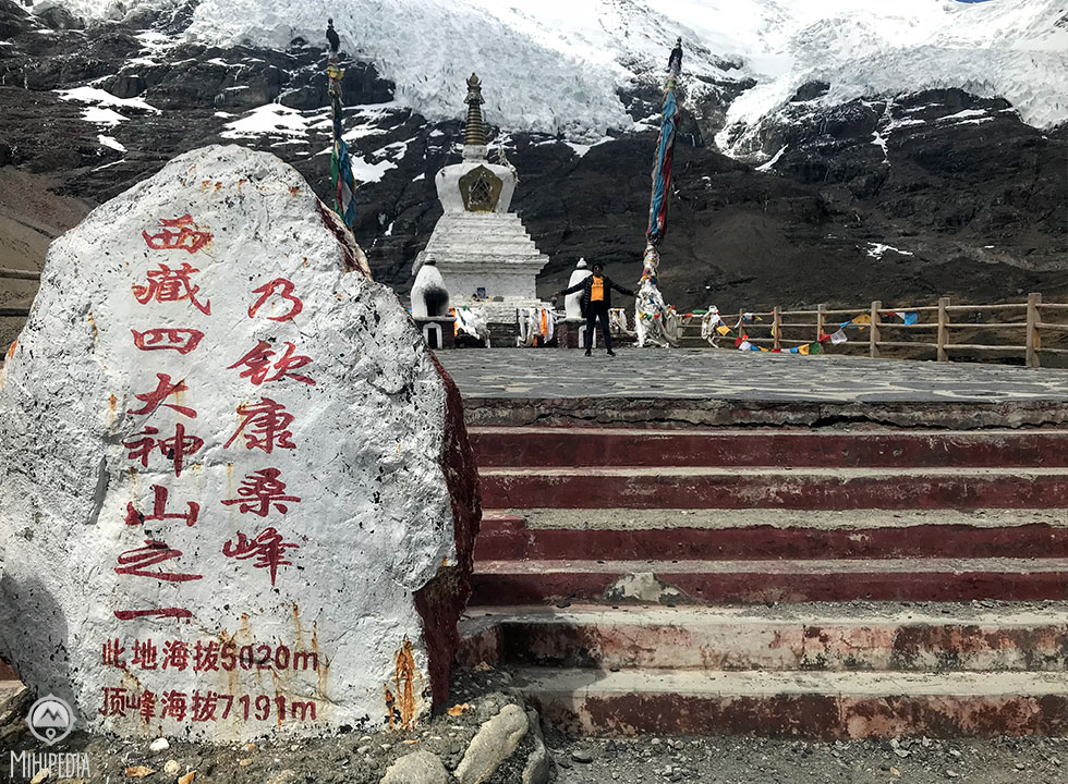
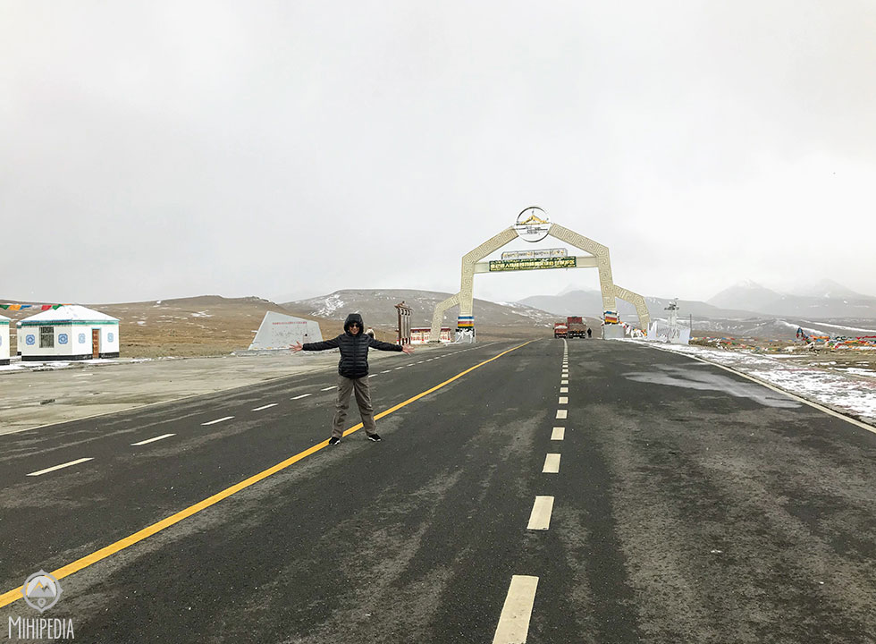 And then we pass the Gyatso La pass that reads “You Have Entered Mt Quomolangma National Nature Reserve”. By now the air is much colder and thinner making it difficult to breath sometimes.
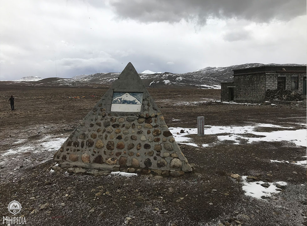
 At 4600m, we drive through the Tsola Pass onwards and upwards to the Gyatso La Pass at 5248m. This is the highest point on this Friendship Highway that traverses through China and Nepal. The ride has taken us on one heck of a scenic route despite having a reputation of being one of the most dangerous roads to travel on!

Finally we arrive at Qomolangma National Nature Reserve or the Mount Everest National Nature Reserve. “Qomolangma” is the Tibetan name for Mount Everest.
This area was established as a National Reserve in 1988 due to its rich hydropower, light and wind energy resources. It also boasts of the highest mountain in the world— Mount Everest and four other peaks with altitudes of more than 8,000 meters. Unfortunately, heavy clouds and snow blocks our view of this mountain range.
 And here’s the sight I’ve been waiting for. The mighty Mount Everest! This is the famous north face of Everest and one of the best places to get a clear, sweeping view of the mountain.
 We ogle, stare, gaze, sigh, pray and pose for a million photos. The full moon is out and lights up this amazing sight. It’s also very, very cold!

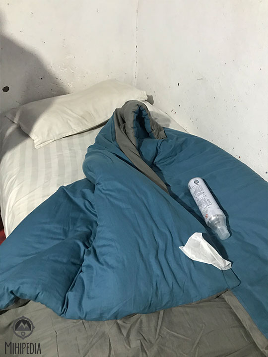
We spend the night at the Ronghbuk Monastery Guesthouse, probably the highest guesthouse in the world! Sparsely furnished, with only a wooden bed, a much-used blanket (that smells a lot of the yaks outside!), a flask of hot water (which didn’t smell too good either) and a bottle of oxygen, I manage to ignore all that and lay my throbbing head down and fall into a restless sleep, waking many times to take deep gulps of oxygen!
 The next day I rise slowly and with much difficulty as my head still hurts and my movements are very slow. The air seems even colder and thinner. But nothing compares to the amazing sight of the majestic Mount Everest.
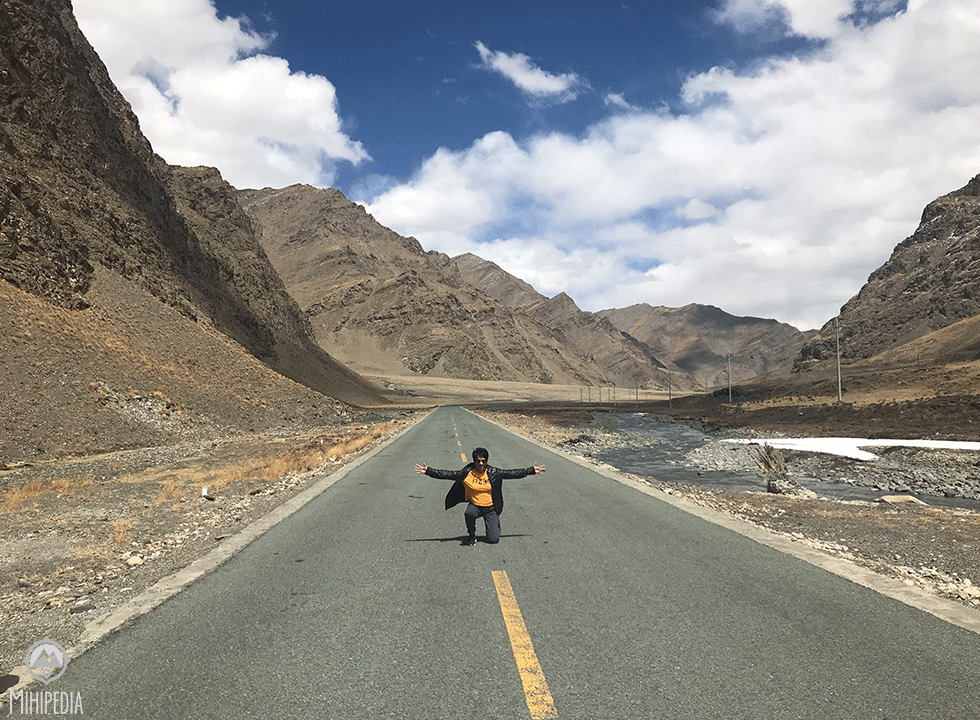
 The entire road to Everest base Camp is paved, which is quite an engineering feat. Added to the elemental beauty of the world’s highest plateau, this is definitely one of the best drives I’ve done!
I truly feel I’m at the Roof of the World.

2 Comments Add yours