After months of planning, it is time to climb the Narangala mountain, and little do I know, this will be one of the most exhilarating experiences of my life. During the initial planning, and closer to the day, I am getting more and more disheartened that this mountain is going to be a bore.
But as I reach the bottom of the mountain and look up at the imposing climb, I am thrilled!
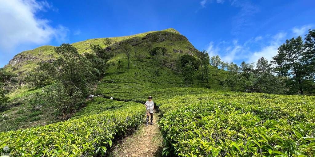
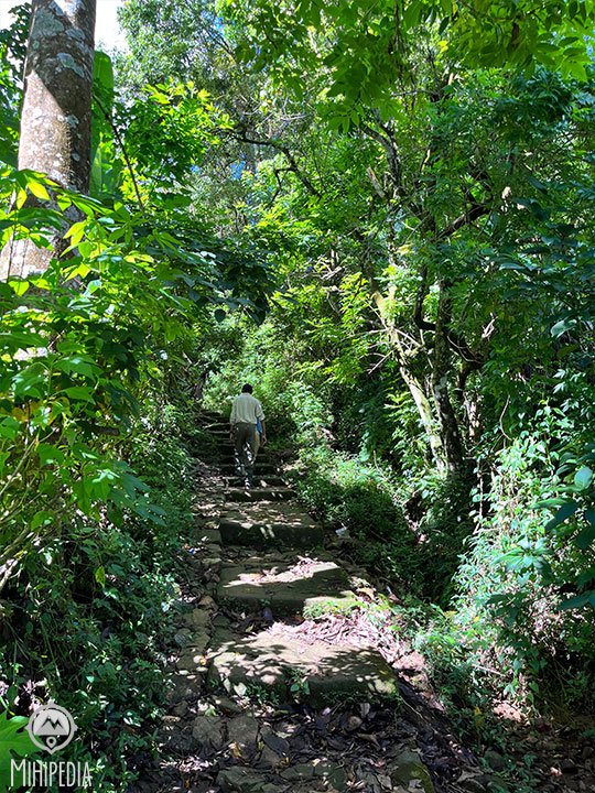
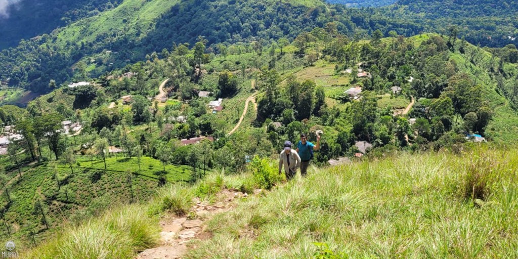
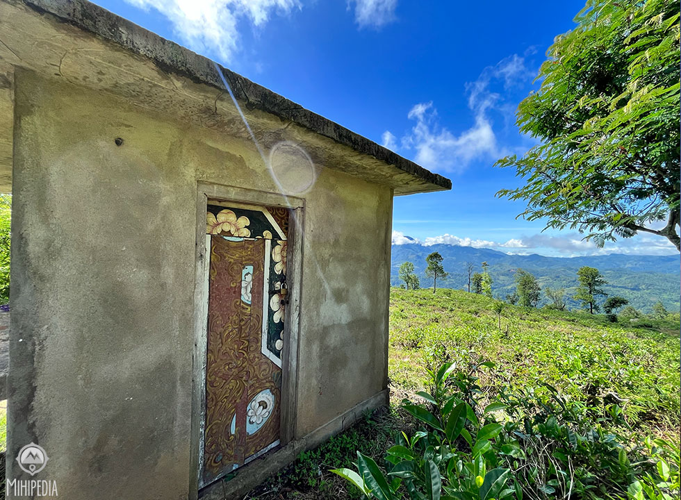
The climb begins gently, winding our way through lush tea estates. The scent of freshly picked tea leaves, combined with the cool air from last night’s rain, provides a welcome respite from Colombo’s heat wave.
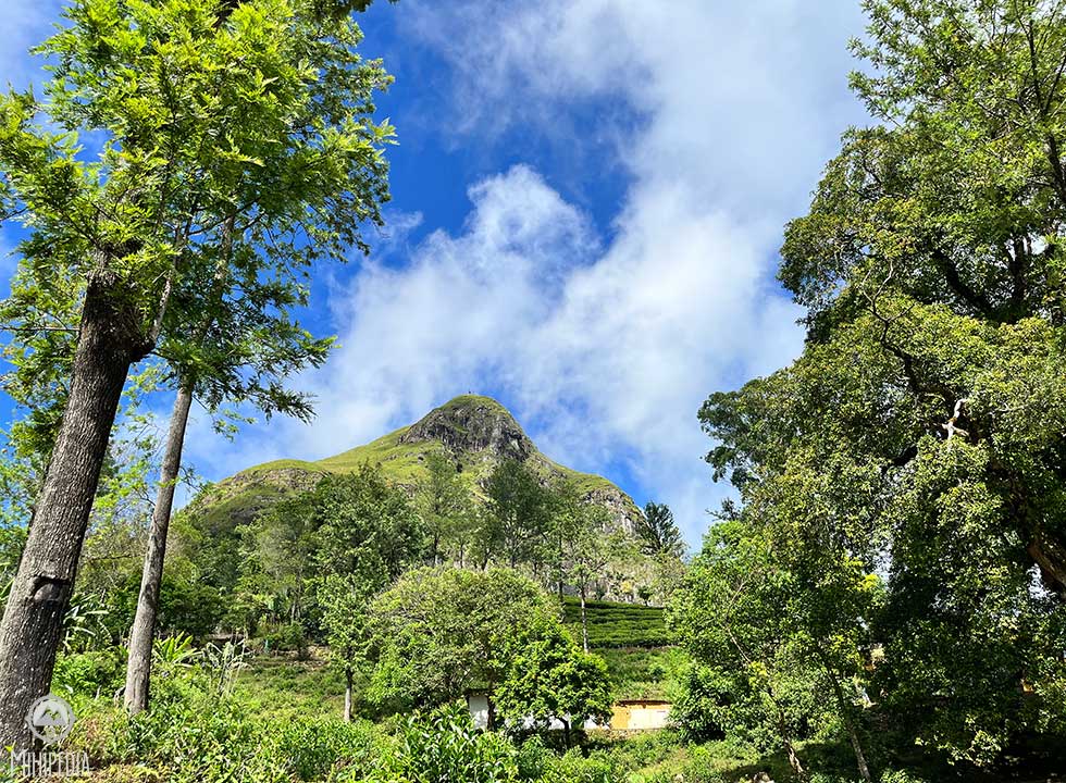
Narangala is a mountain located in the edge of the Uva Province in the Badulla district. It is the second-highest peak in the Uva Province, rising to approximately 1,500 meters, second only to the Namunukula Mountain range.
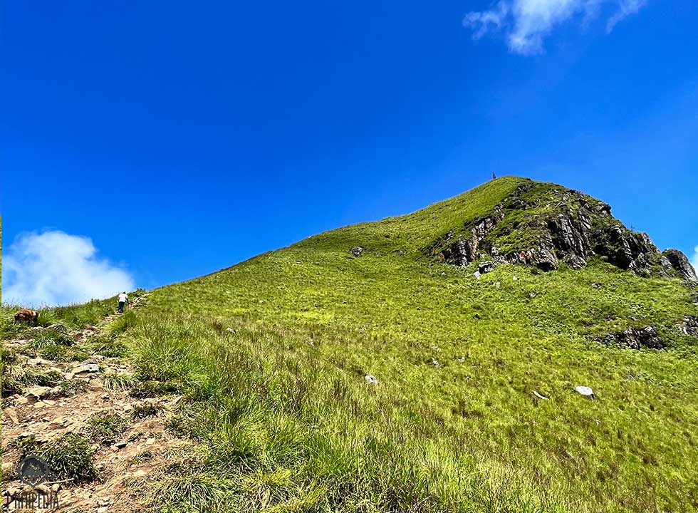
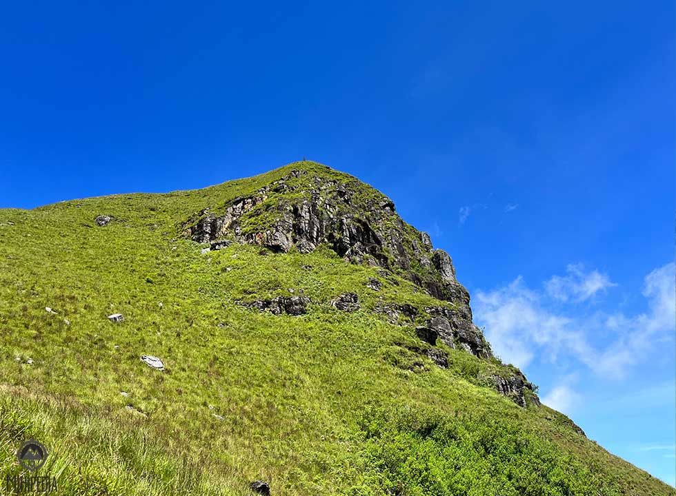
What sets it apart from the other mountains in the region is its distinctive rectangular-shaped plateau and triangular-shaped peak.
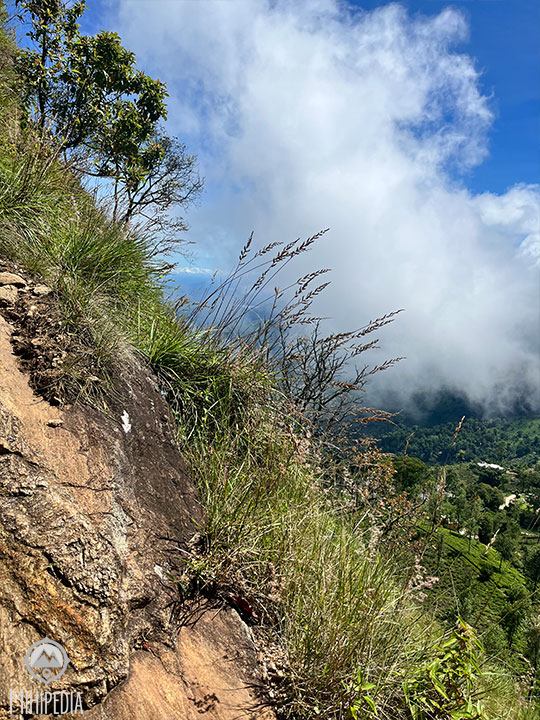
The mountain is situated amidst lush tea estates and offers a range of terrains, from gentle slopes to steep inclines and rocky outcrops.
According to folklore, King Walagamba hid nine pots of gold in a cave on the mountain, giving it the name “NawaRanKala” (Nine Gold Pots). The King utilized Narangala as a fortress from 105 to 89 BC to evade the invaders, and it served as a training and gathering spot for Kandyan chiefs during the Great Rebellion of 1817-1818 against the British.
The mountain is also known as Thanga Malai in Tamil, meaning “Golden Mountain,” due to the beautiful golden grassland that covers its slope.
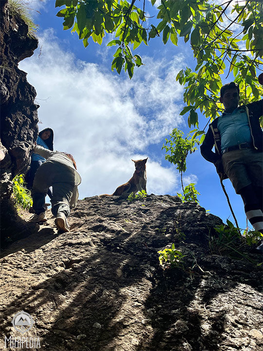
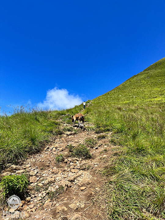
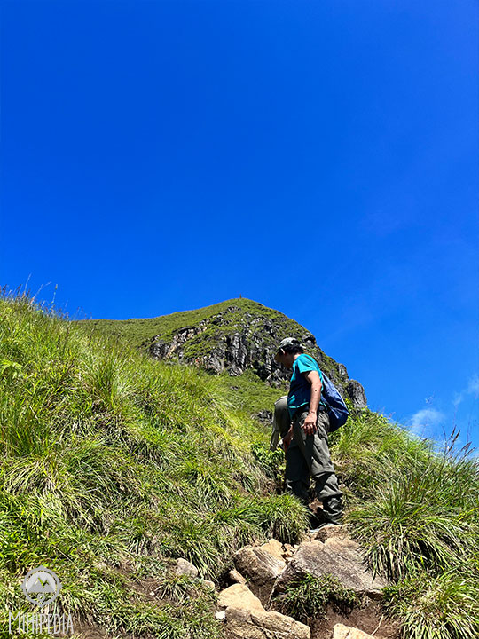
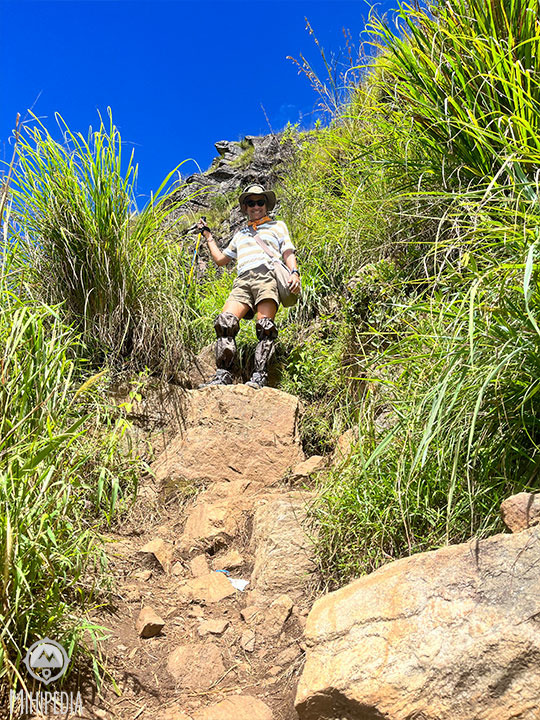
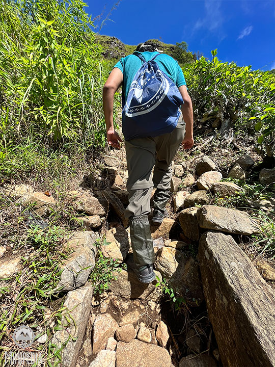
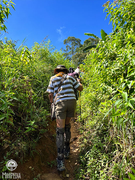
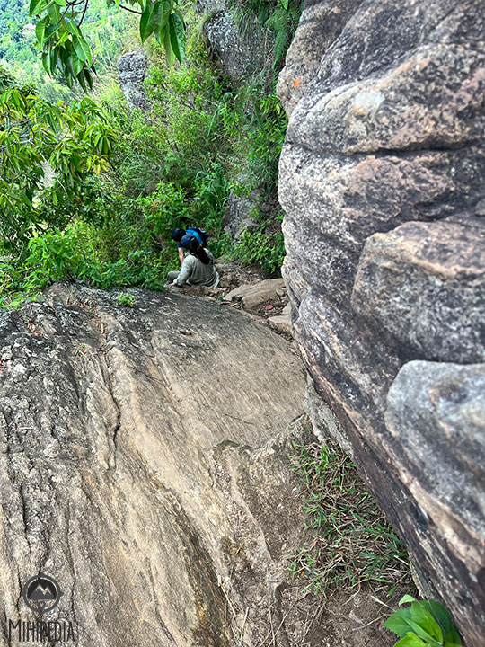
As we continue upwards, the terrain becomes increasingly challenging, with steep inclines and rocky outcrops. At this point we lose half of the climbers, who decide to turn back. The rest of us find ourselves scrambling up narrow paths, clinging to the rocks for support, and then sliding down on our backsides as we navigate the steeper sections.
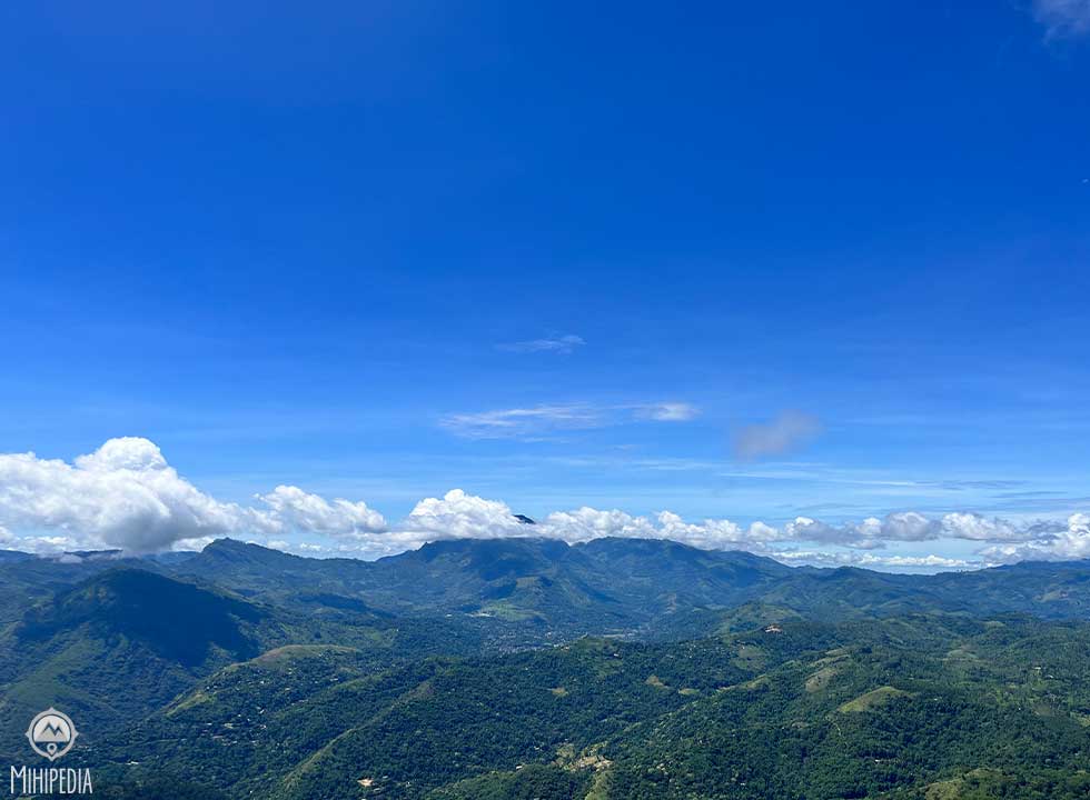
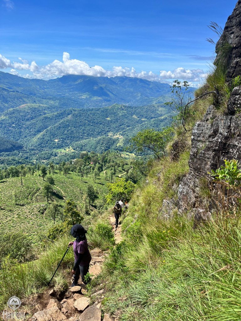
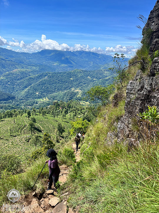
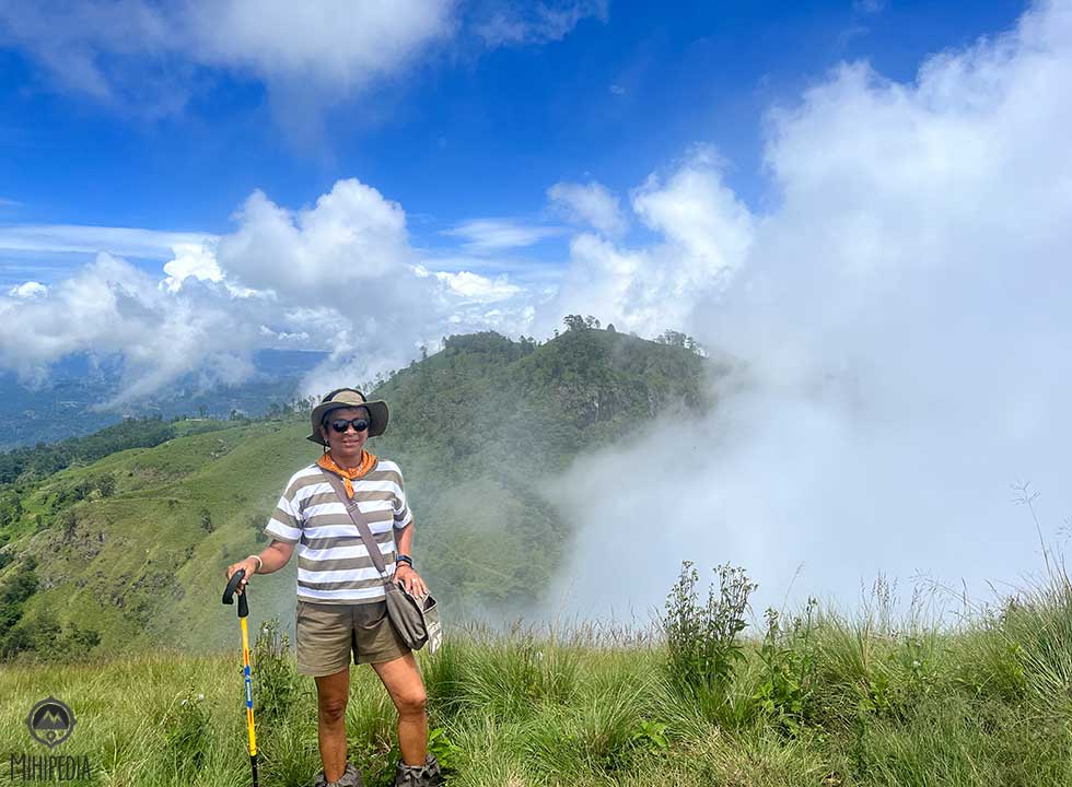
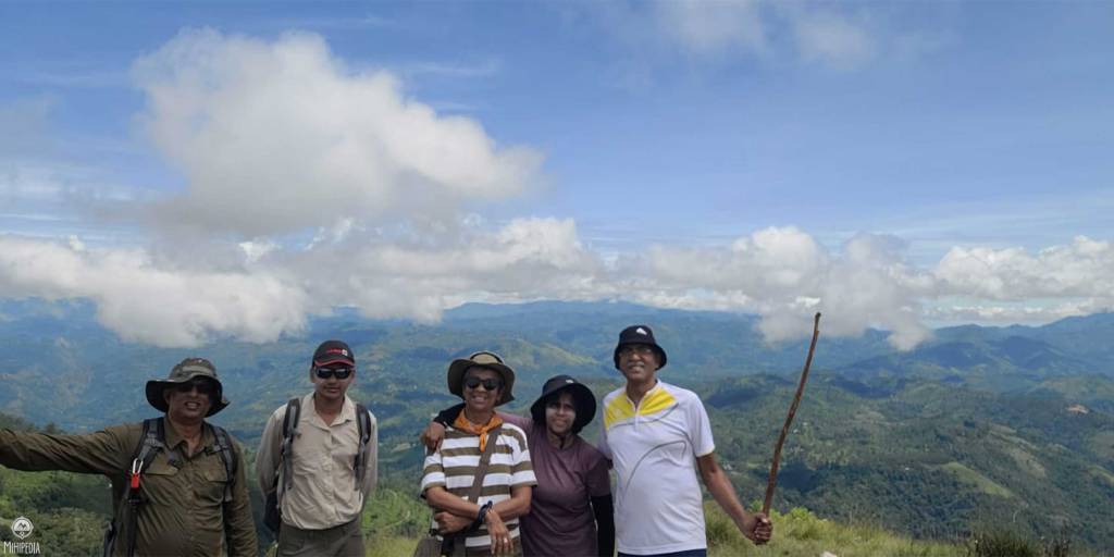
But the effort is worth it, as when we finally reach the top, we are rewarded with stunning views across the surrounding landscape. The day is clear and bright, and we can see for miles around.
We spend some time admiring the view and catching our breath.
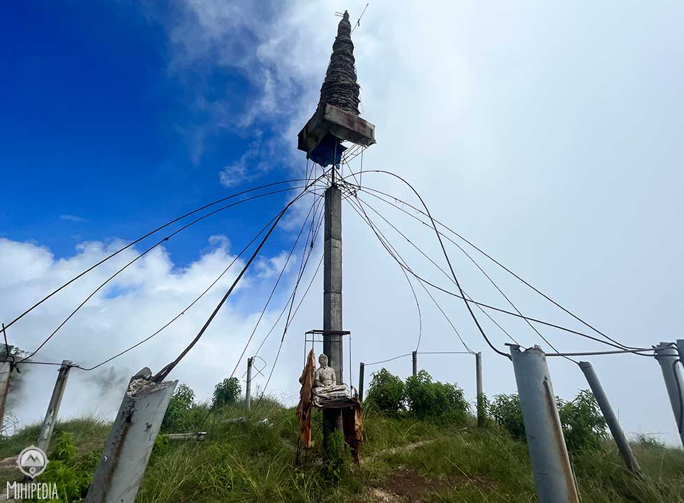
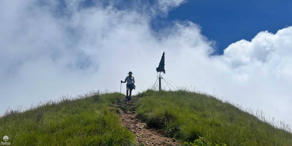
At the summit, there is a half-constructed stupa and a plateau where hikers can take in panoramic views of the surrounding countryside and stunning views of the gap formed by the valleys of Uma Oya, Badulu Oya, and Loggal Oya.
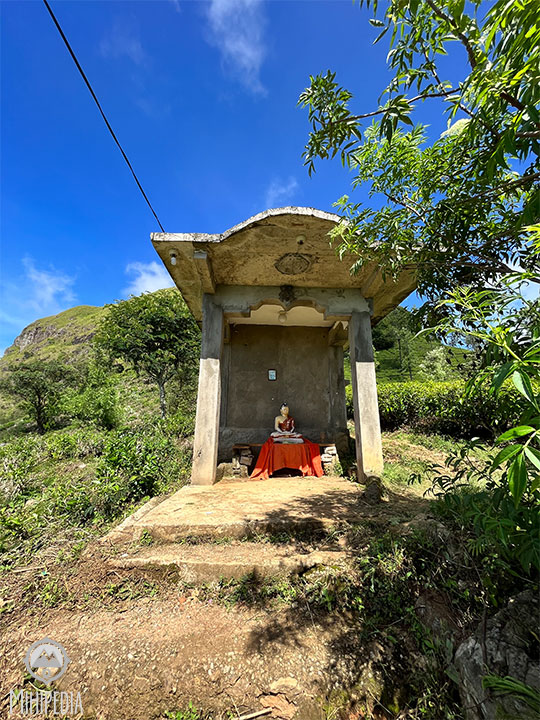
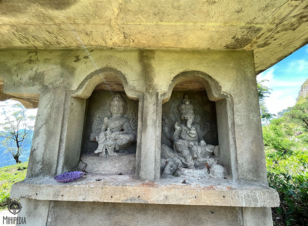
This mountain also has significant historical importance. Legend has it that Lord Buddha wanted to bless the mountain with his footsteps over 2600 years ago but refrained from doing so to avoid disturbing the farmers’ activities. The area still contains various historic ruins and temples that offer insights into Sri Lanka’s rich history.
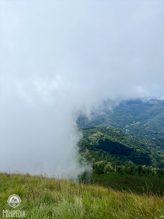
Soon we notice that the mist is beginning to roll in, slowly obscuring our view of the surrounding countryside. We are enveloped in a thick fog, and the world around us disappears into a ghostly white haze. Despite the sudden change in weather, the misty atmosphere only adds to the sense of adventure and excitement that we feel during the climb.
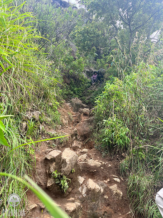
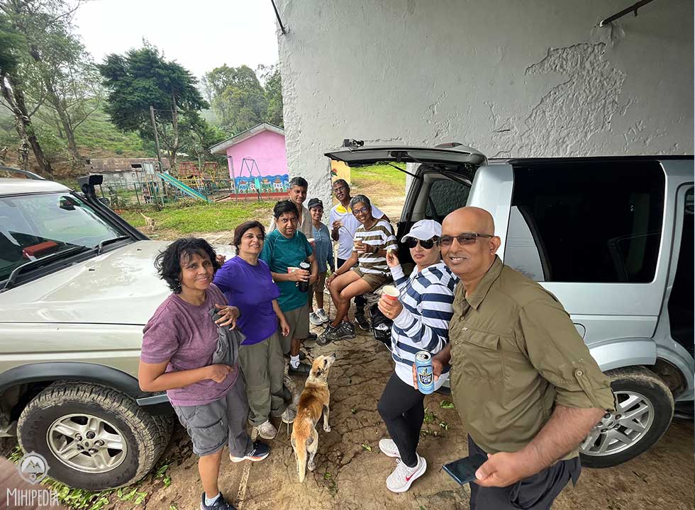
Our descent is worse than the climb as we slide down with no footholds or proper paths. But we make it down, dehydrated and dog-tired but thrilled that we made it to the very top and back. All in all, it has taken me about 2 hrs to climb and another 1.5hrs to descend.
The Narangala mountain has challenged us physically, but it has also rewarded us with breathtaking views and unforgettable memories.
Good to know.
Wear proper hiking shoes.
Take lots of water.
Start your hike early as the mist rolls in by early afternoon.
I have marked the trail on All Trails.

Beautiful 😌☺
LikeLike
Thank you!
LikeLiked by 1 person