Hidden in the far reaches of Siyambalanduwa, where the land grows wild and time feels suspended, stands a sleeping giant — Govinda Hela. A monolithic rock scarred by centuries of history, crowned by drifting clouds, and whispered about in legend. During the colonial era, the British called it “Westminster Abbey”, not for any religious connection, but because its towering silhouette reminded them of the famous London landmark.
But long before maps bore that name, Govinda Hela was something far greater — a rebel’s stronghold, a mountain of strategic and spiritual significance, and a symbol of resistance during one of Sri Lanka’s darkest chapters.
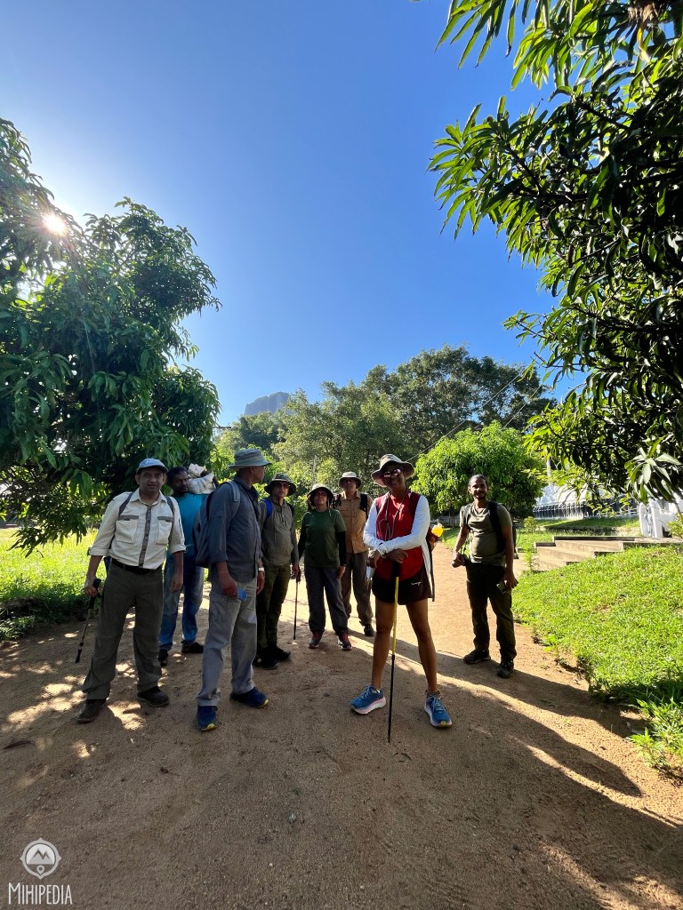
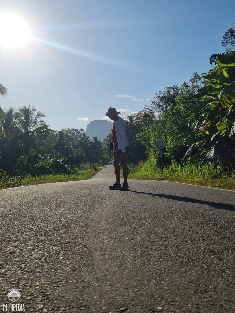
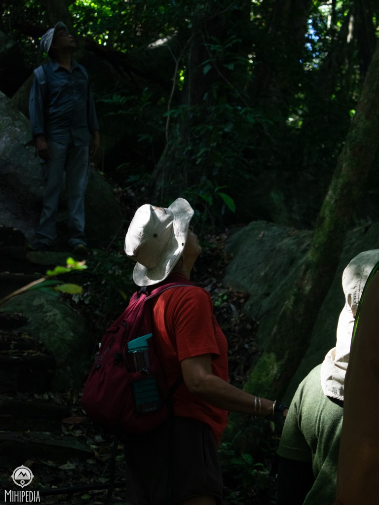
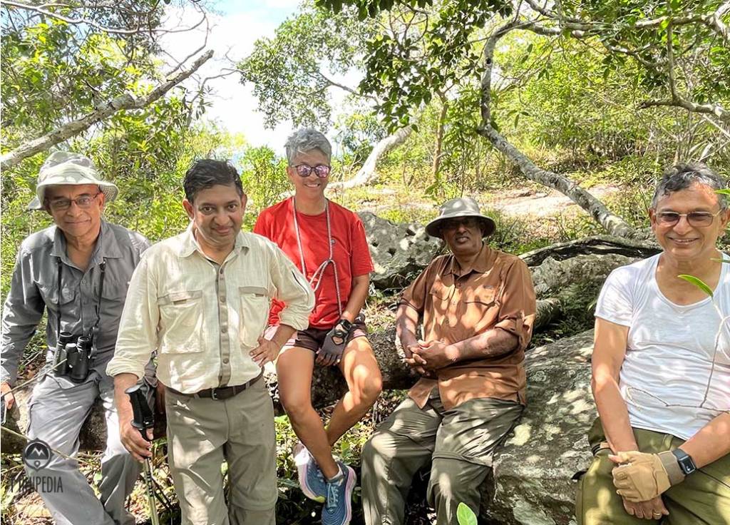
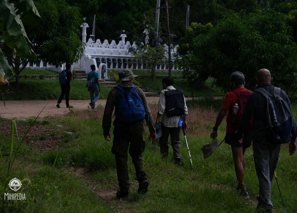
We began our climb at 8:00 a.m., stepping out from the sacred grounds of Sri Buwanekabahu Purana Rajamaha Viharaya, a temple steeped in its own layers of quiet devotion and antiquity. The trail ahead was dry, narrow, and overgrown — a whisper of a path threading through wilderness. In the distance, Govinda Hela rose like a fortress carved by gods — imposing, indifferent, and almost mythical in stature. This will be another conquest to my rock collection.
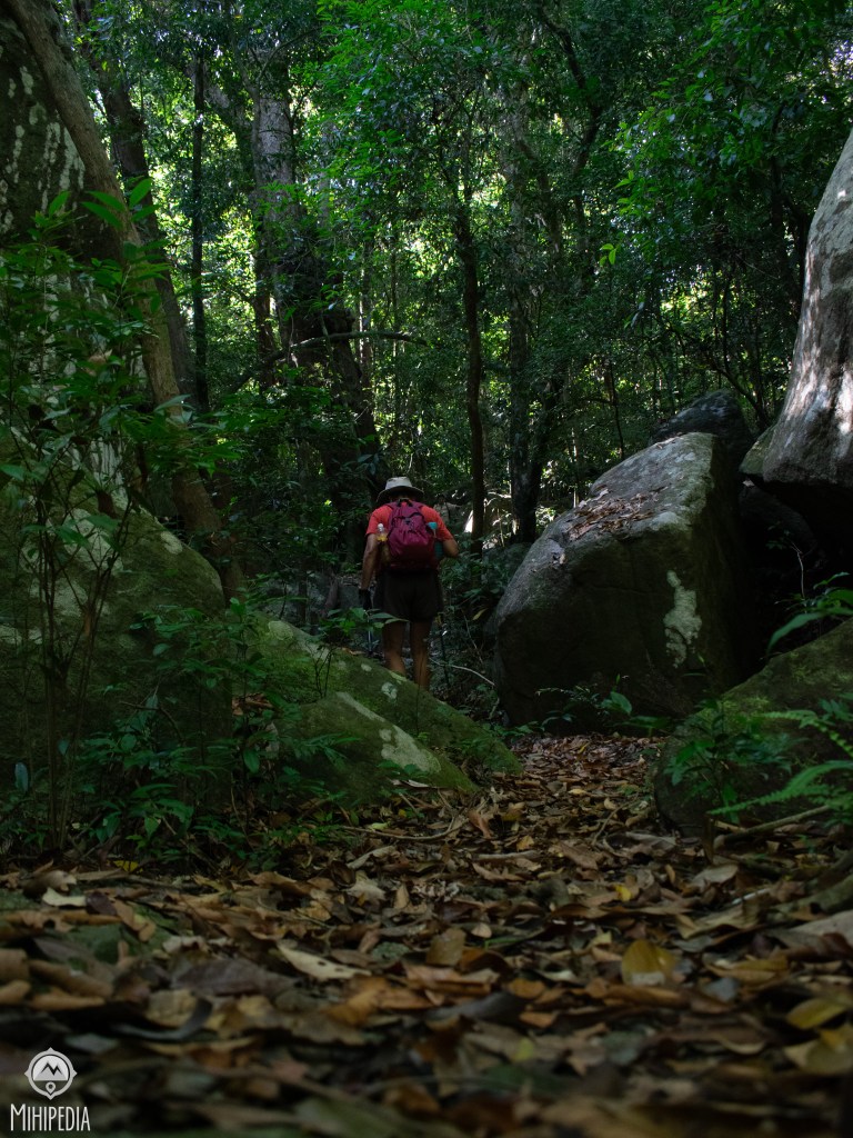
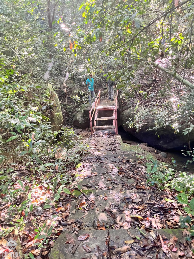
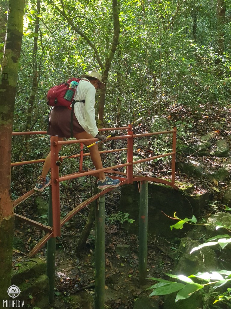
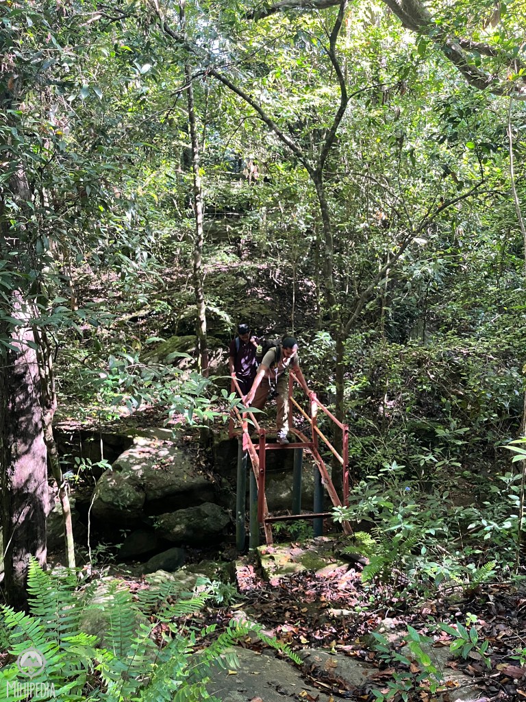
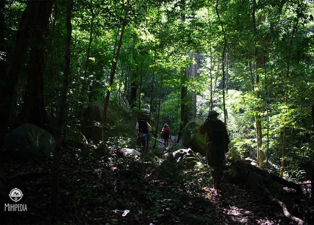
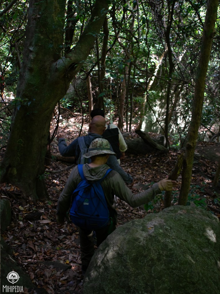
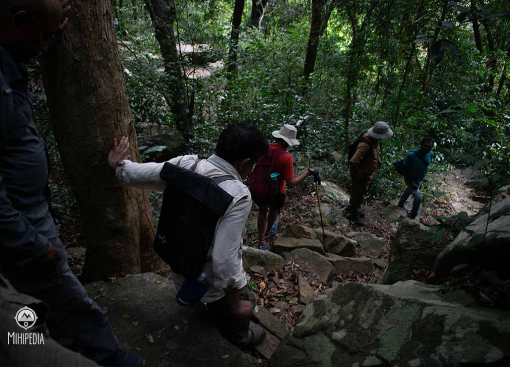
The first leg of the hike was deceptively easy. The trail meandered through scrub forest and underbrush. But soon, the mountain revealed its true nature. Two dilapidated steel bridges tested our nerves — rusted through in parts, warped by time, and teetering over gullies. We crossed them one at a time, holding our breath and inching forward, carefully placing one foot after the other while balancing precariously on thin metal bars where the steps had long since rusted away.
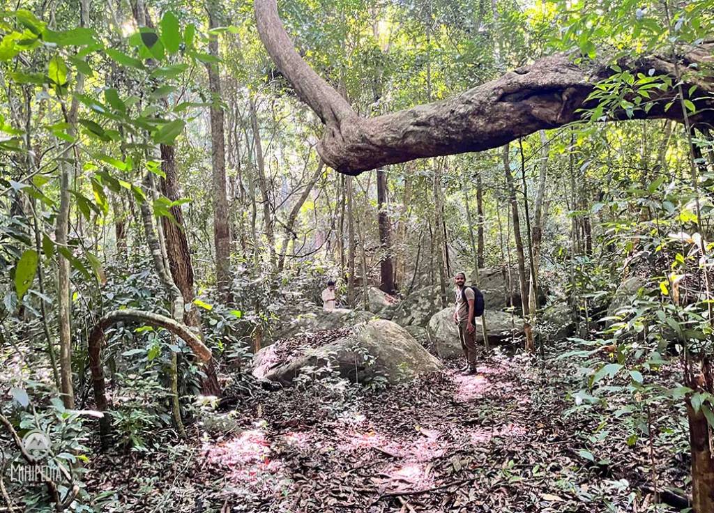
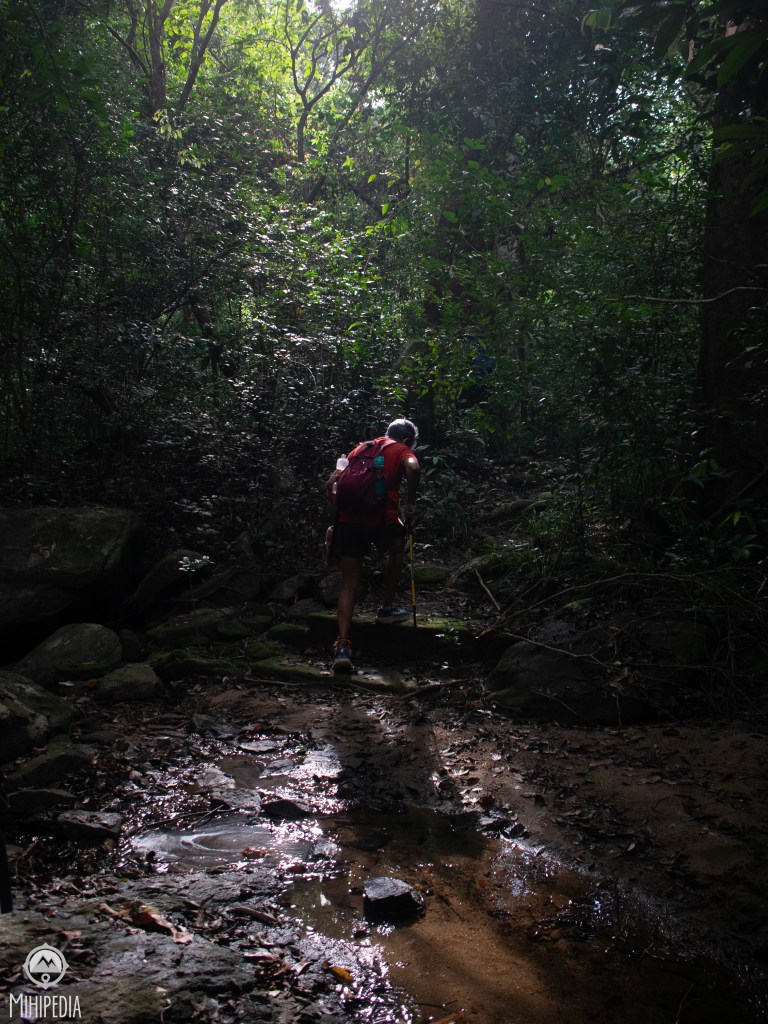
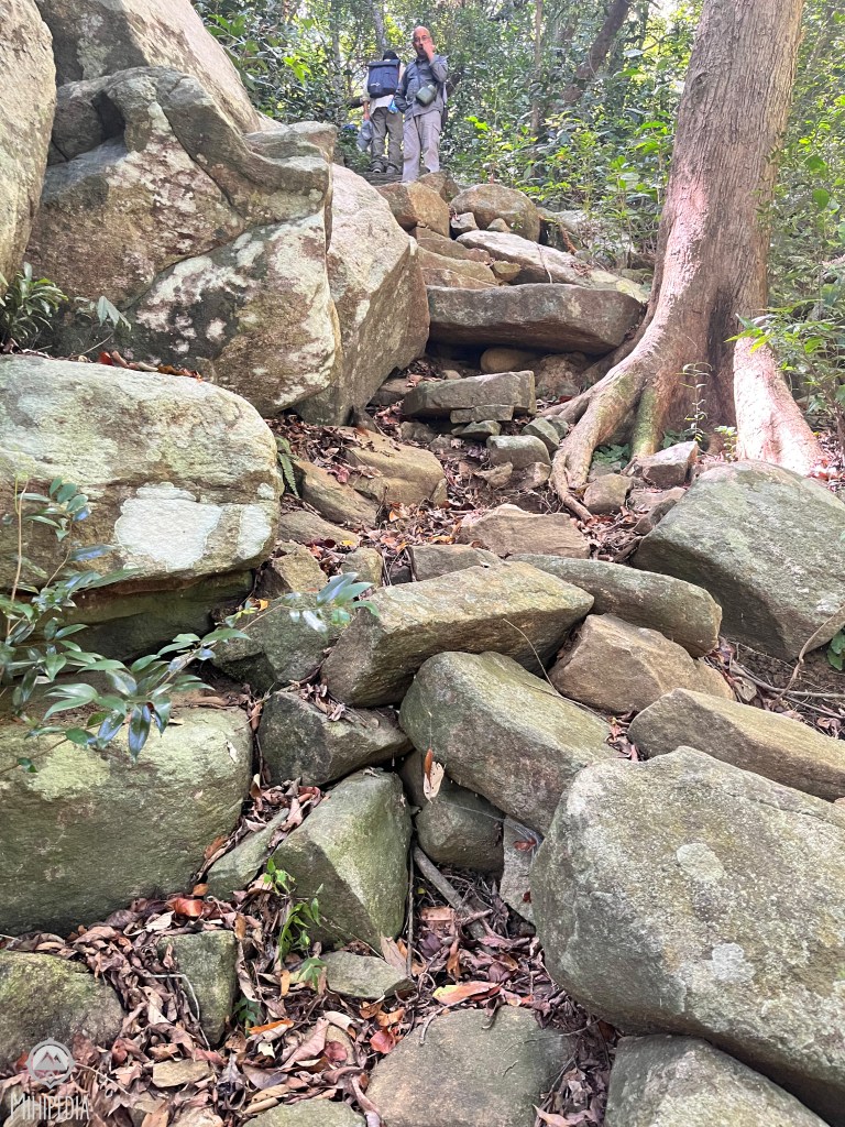
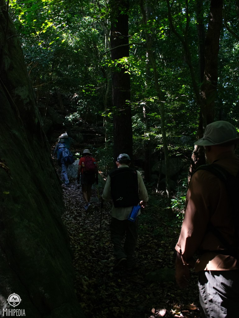
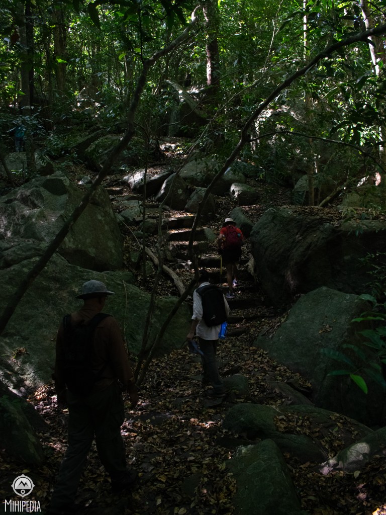

From there, the trail grew harsher. Massive granite boulders jutted out like sleeping giants, and we had to hoist ourselves up, often using both hands and sheer grit. The jungle around us felt primeval — tangled, thorny, and pulsing with hidden life. It was tough. Yet, it was a fantastic trail..

There were many breaks — some to catch our breath and rehydrate, others just to marvel at how far we have come or how much further we have to go!
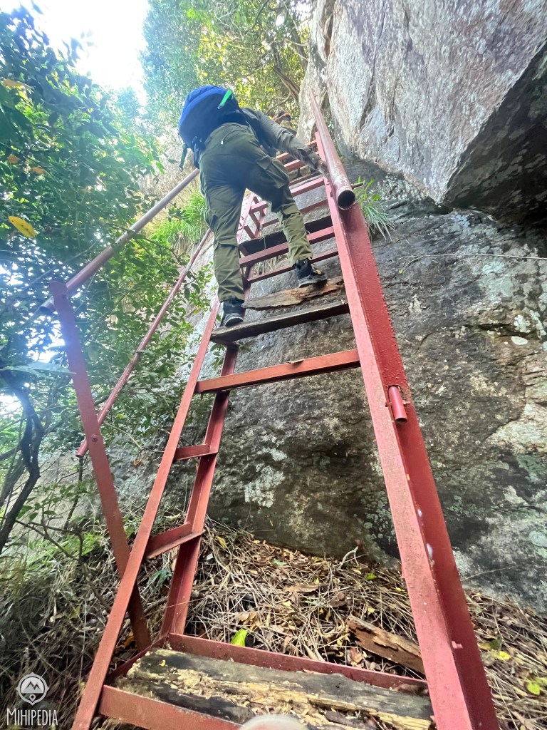
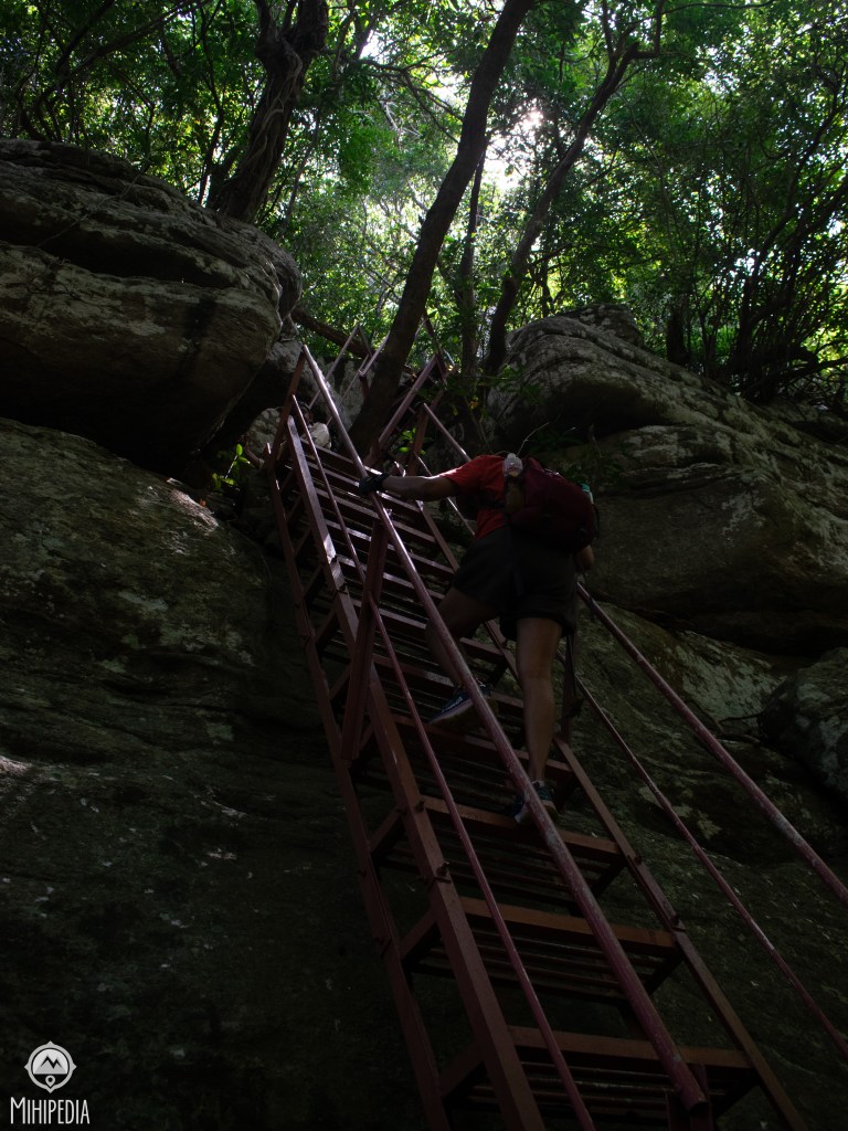
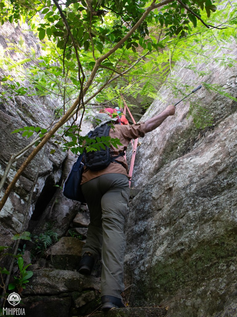
Near the summit, the final challenge waited: three steel ladders, bolted into the cliffside — or what was left of them. Corroded by decades of sun and rain, bent in places, and missing rungs, they dangled at the edge of a sheer drop. With no ropes, no safety nets, and only raw courage, we scaled them one by one — sweat clinging to rusted iron, adrenaline spiking with every careful step and my heartrate jumping to a 152!
The final pull onto the summit felt like surfacing from another world.
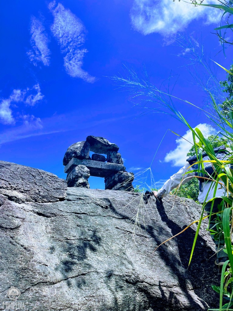

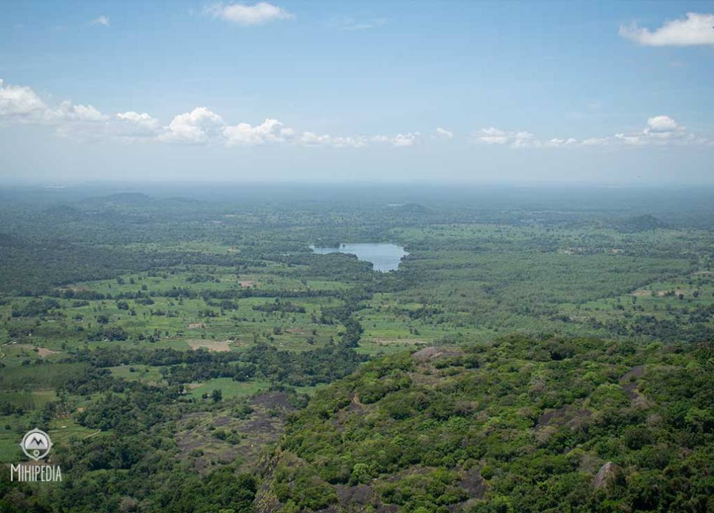
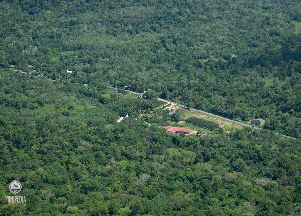
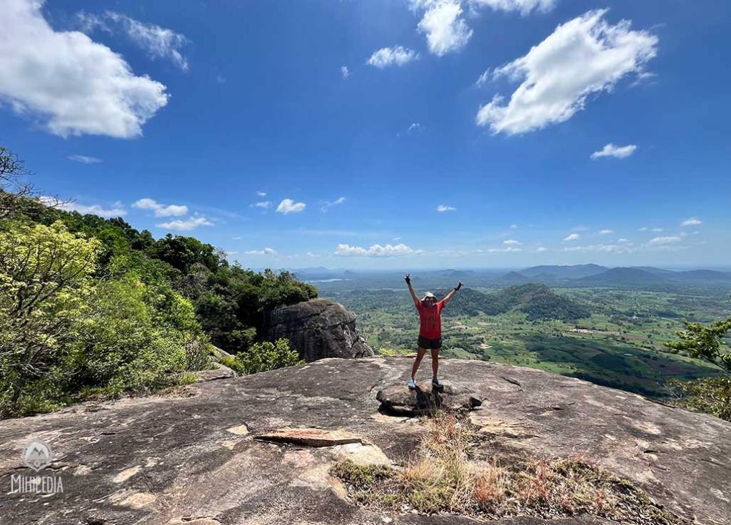


The summit, standing at a height of 500m, was vast and open, flat as a stone courtyard. Standing there, the view took my breath away. It was like standing at the centre of an ancient kingdom. Every direction whispered a story.
- To the south, the sun-baked forests of Yala
- To the east, the silver mirror of Lahugala Reservoir
- To the north, Maduru Oya’s emerald sprawl
- And to the west, the blue silhouette of the Namunukula range stood proud and distant.
- Below, the shimmering waters of Muthukandiya

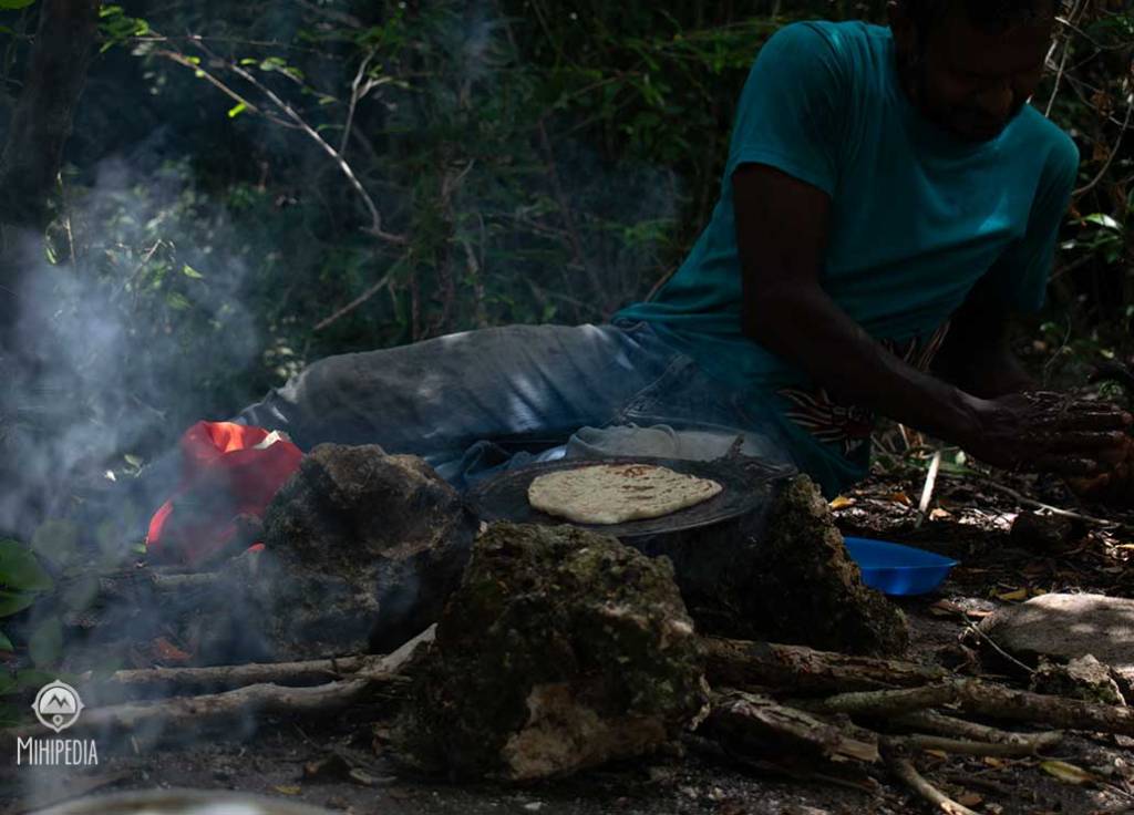


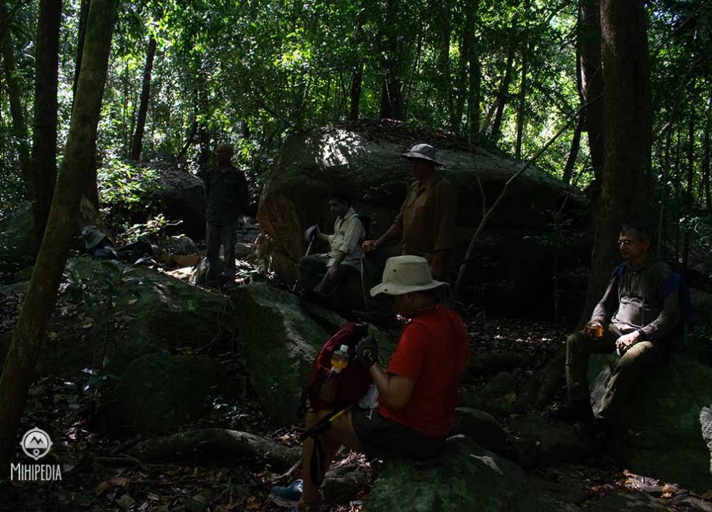
Our guide, Rohitha, and his ever-helpful son, Kavindu from Siyambalanduwa, laid out a simple but soul-warming lunch. There was thick, pan-roasted roti, tender boiled manioc, and a fiery red katta sambol that seared our lips but left us reaching for more. Everything had been cooked over a makeshift hearth right there on the rock. The process of cleaning, prepping, and hauling it all up? A miracle of mountain hospitality.

We sat on large boulders under a curtain of vines, the sky wide and kind above. We lingered. We laughed. We listened to the silence and ate to our hearts content.
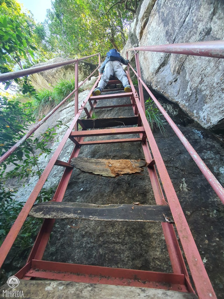

Coming down was no easier. The ladders, now facing downward, felt even more terrifying. One wrong move would mean disaster. My knees ached. My legs shook. The rocks we had scrambled up earlier now conspired to trip us on the way down. But slowly, surely, and more than a little bruised, we made it.
By 4:00 p.m., we stumbled back to the temple grounds — dusty, sweaty, and rather pleased with ourselves.
But Govinda Hela is more than a challenging hike. It is a place where history clings to every crevice.
After the golden age of King Nissankamalla (1187–1196), the Polonnaruwa kingdom began to unravel. In the chaos, Magha of Kalinga invaded from South India with a brutal army from Kerala. Rajarata fell. Buddhist institutions were plundered. But in the deep south and east, local chieftains held fast.
They built fortresses in the hills — refusing to yield.
- Prince Bhuwanekabahu of Rohana made Govinda Hela his base of resistance.
- Sankha, a warrior general, took Minipe.
- And Subha, another commander, fortified Subhapabbata, now known as Yapahuwa.
These strongholds were not just military outposts. They were symbols of defiance — citadels of faith and sovereignty in the face of foreign conquest.
Today, Govinda Hela no longer echoes with sword clashes or royal decrees. But it stands firm, silent and powerful — a monument to resilience, courage, and timeless beauty.
It’s not just a climb. It’s a journey through time.
So if you ever find yourself in Siyambalanduwa, take the road less traveled. Climb the mountain. Face the rusted ladders. Eat the sambol. Feel the wind. And listen. Because Govinda Hela still has stories to tell — one step at a time.
We stayed overnight at the Grand Pearl Hotel in Monaragala.
Here’s a video of our climb.


Good to Know – Before You Climb Govinda Hela
Location: Govinda Hela is located in Siyambalanduwa, in the Monaragala District of Sri Lanka’s Eastern Province. The trail begins at Sri Buwanekabahu Purana Rajamaha Viharaya.
Hiking Duration: Approx. 7 hours round trip (moderate to difficult). Start early to avoid the midday heat and to give yourself plenty of time.
Difficulty Level: Challenging. Steep ascents, broken bridges, rock scrambling, and rusted ladders near the summit. Not recommended for those afraid of heights or with limited mobility.
Food & Water: There are no shops or water sources on the trail. Carry at least 2–3 litres of water, energy snacks, and meals if not arranged by a guide.
Mobile Signal: Patchy or unavailable, especially in the upper trail and summit areas. Let someone know your plans before heading out.
Guide Recommended:
Highly advisable to go with a local guide familiar with the route — especially for navigating broken paths, wildlife risks, and historical context. We went with Rohitha, who also arranged a lovely mountaintop meal!
Wildlife & Nature: The jungle is dense and alive — expect birds, monkeys, butterflies, and possibly snakes. Stay on the trail and most importantly, keep noise to a minimum to avoid a wasp attack.
Best Time to Visit: June–August and December–March, when the weather is drier. Avoid during heavy monsoon season as the trail becomes slippery and dangerous.
Parking: Available at the temple premises. Please respect the sacred grounds and dress modestly if entering the temple before or after the hike. A donation to the temple is much appreciated.
Leave No Trace: Do not litter. Carry out everything you carry in. Respect the environment, local culture, and historical integrity of the site.

easy to read, then do it. what a climb it was.
LikeLike
And it was such a great climb too, especially the ladders, despite them being rusted and broken.
LikeLike