Today, unlike yesterday, finds us eager and prepared to tackle the formidable Pekoe Trail 12 early. This 14.8-kilometer trail, notorious for its difficulty, commences in Udaveriya and will ultimately lead us to Haputale. Along the way, we’ll navigate through overgrown paths, traverse enchanting pine forests, wander through tea estates, and flirt with the edges of precipices, all of which promise to unveil some of Sri Lanka’s most astonishing vistas.
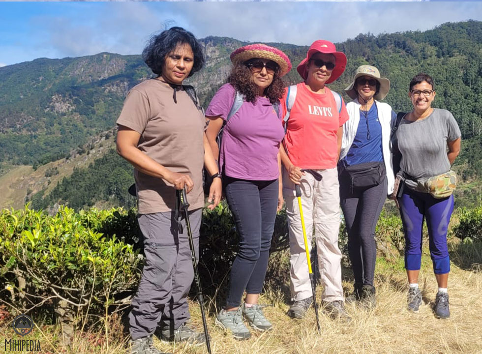
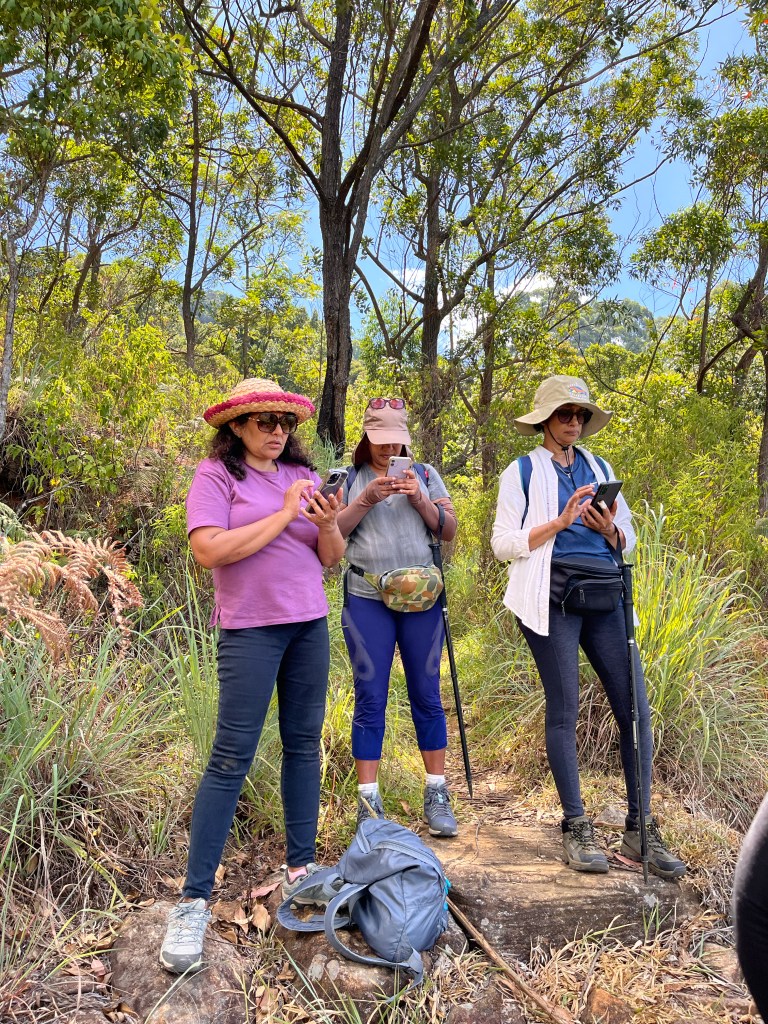
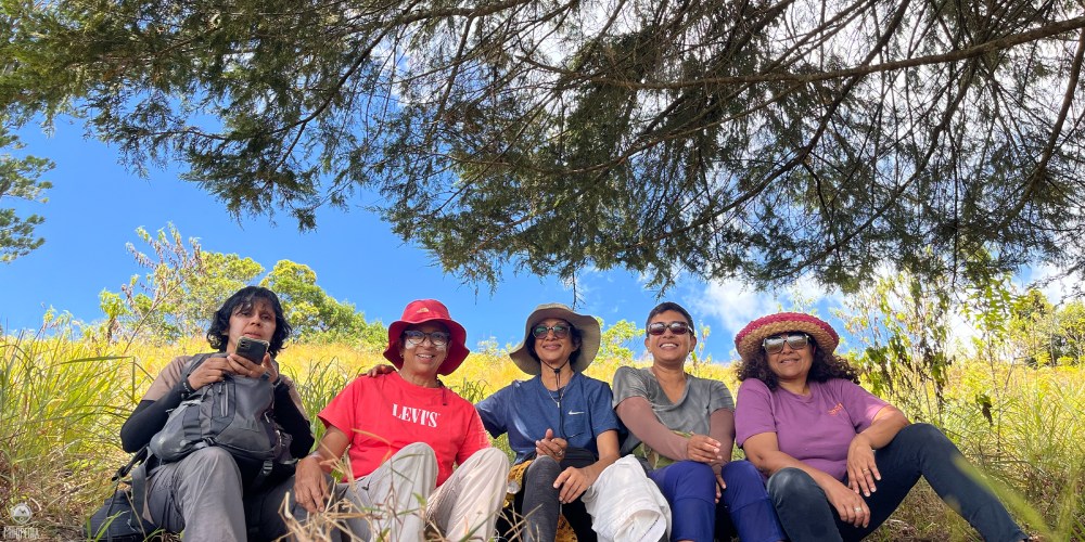
The gusty and windy 16c morning doesn’t deter us in the slightest. In fact, it fuels our spirits as we, a group of five intrepid female explorers, stand poised to embrace the challenges ahead.
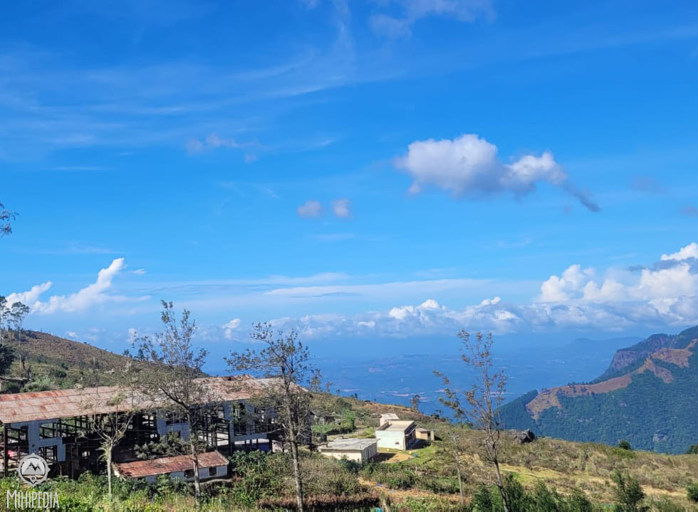

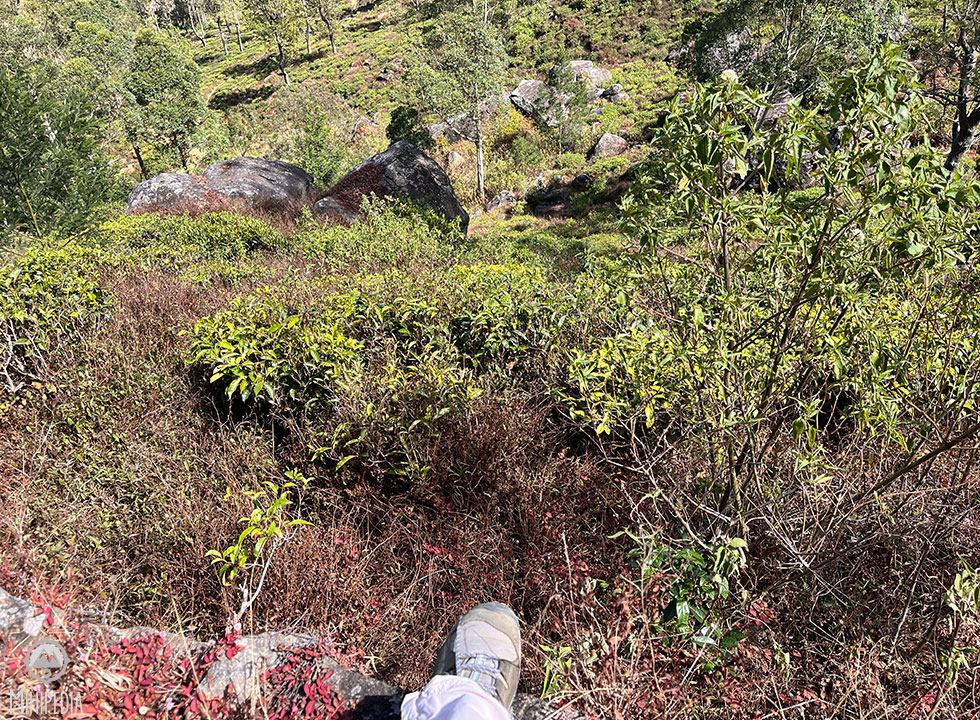
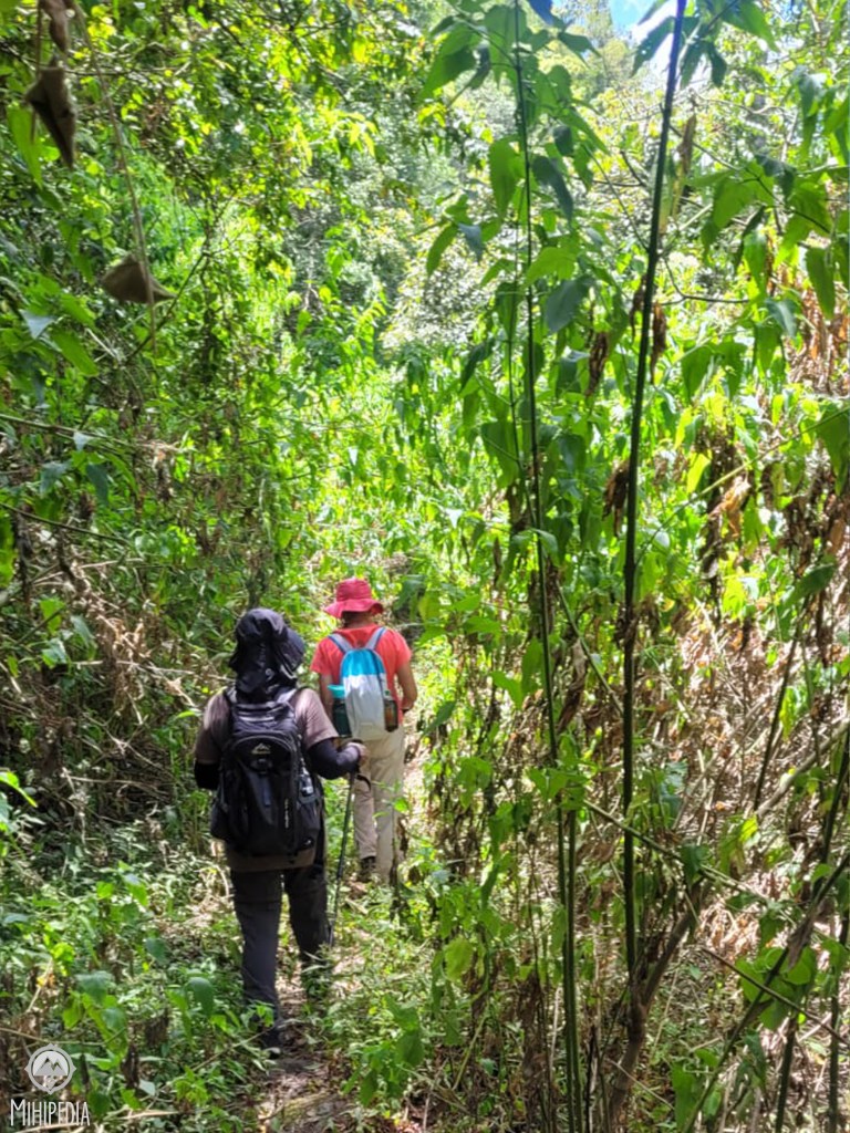
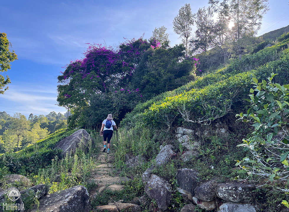
Our adventure kicks off at an abandoned tea factory, and right from the get-go, the trail veers off the well-trodden path. We go deep into the Udaveriya Valley, hiking close to 2 kilometers of untamed terrain before ascending to our highest point at a breathtaking elevation of 1948 meters.

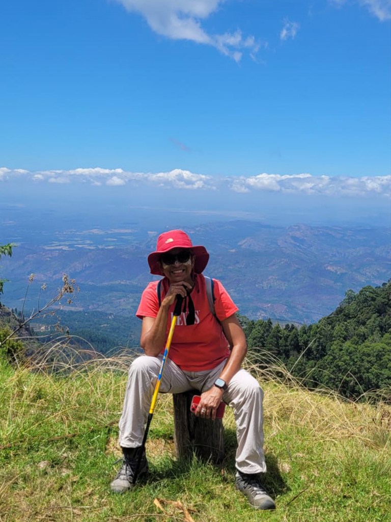
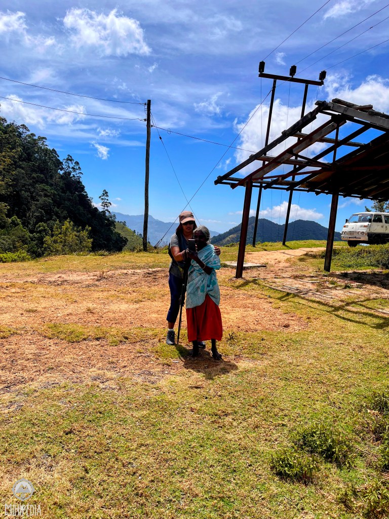
The vistas from this spot are truly breathtaking, and to top it off, we have the entire place to ourselves, save for a friendly old estate worker who ends up receiving a photography tutorial from Anoma!
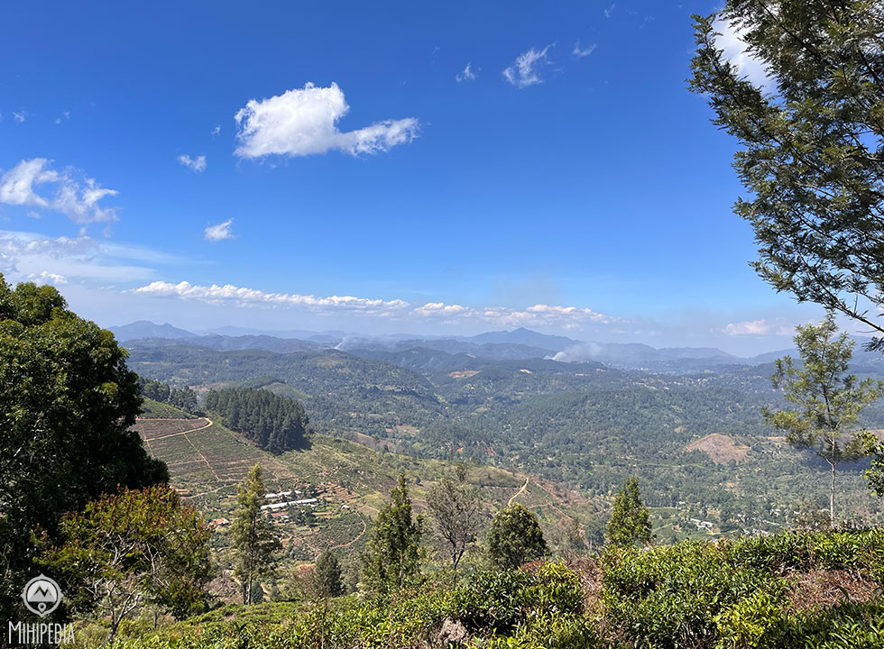
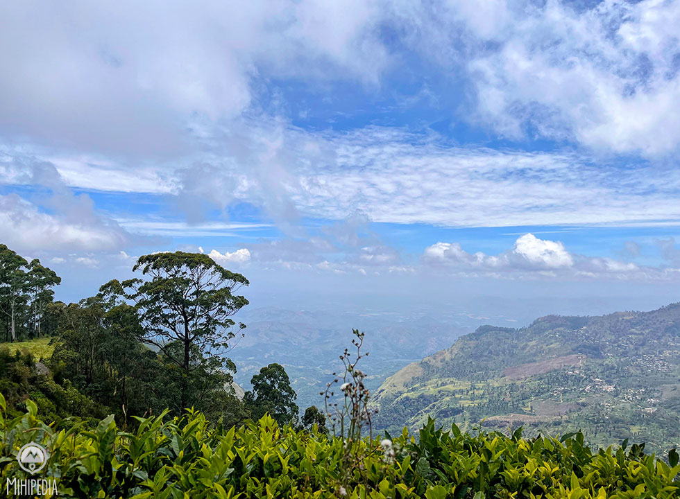
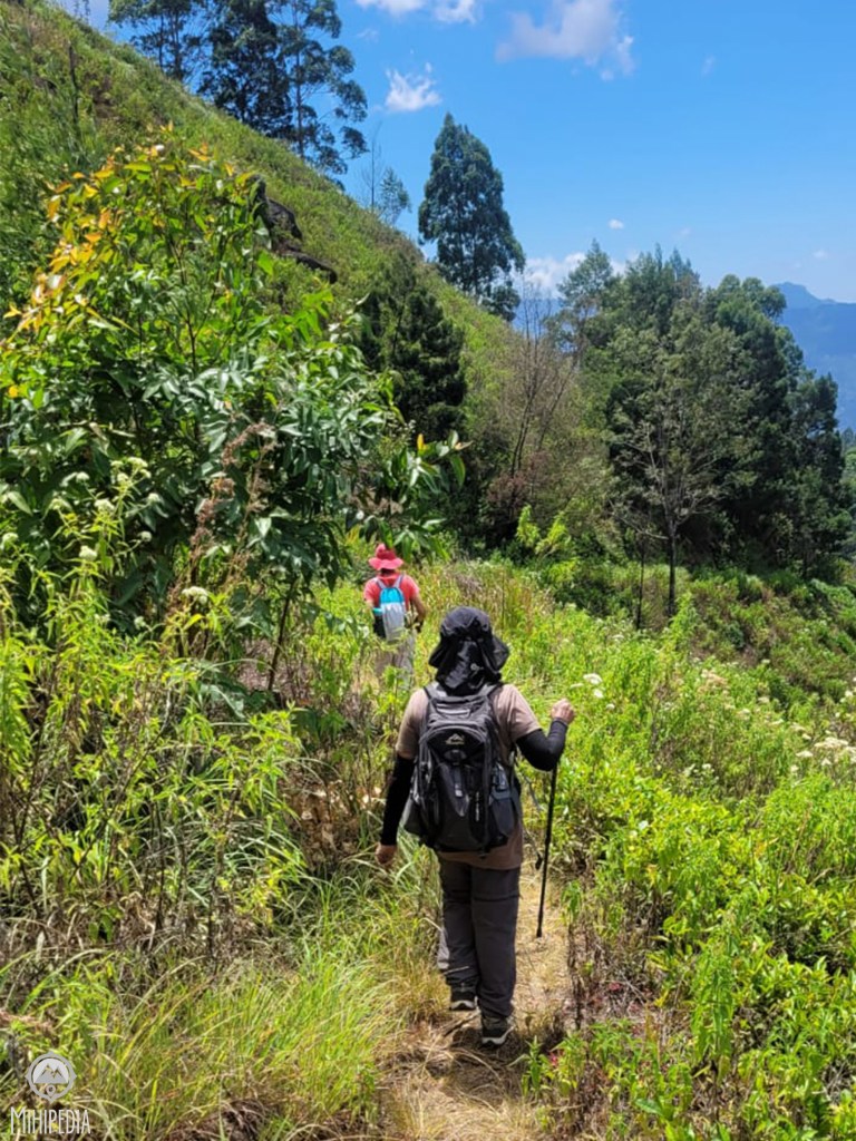
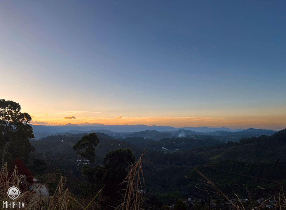
Having conquered the summit. the time has come for our descent to the other side of this mountain. For the next kilometer, our trail gracefully skirts the lowlands on our right while offering a breathtaking view of the expansive Uva bowl on the left.
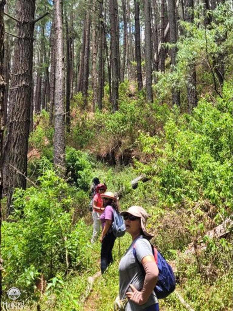

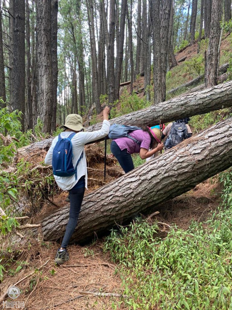
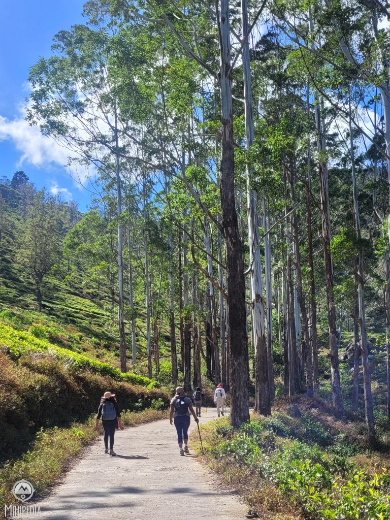
Before long, we find ourselves amidst a dense pine forest. Personally, I relish the experience of strolling through pine forests, for the towering trees, the earthy fragrance of the undergrowth, and the sheer vastness of the forest are all incredibly fascinating. However, there’s a catch – the ground beneath our feet is treacherously slippery, carpeted with a thick layer of pine needles that further obscure our path.
As we navigate through this woodland, we must clamber over fallen tree trunks, sometimes even scooting underneath them, and on occasion, we find ourselves offering an affectionate hug to a few of these stately trees – just temporarily, of course!
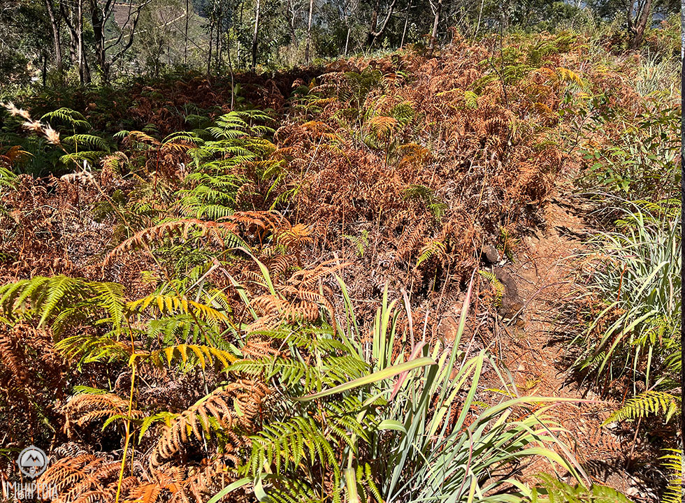
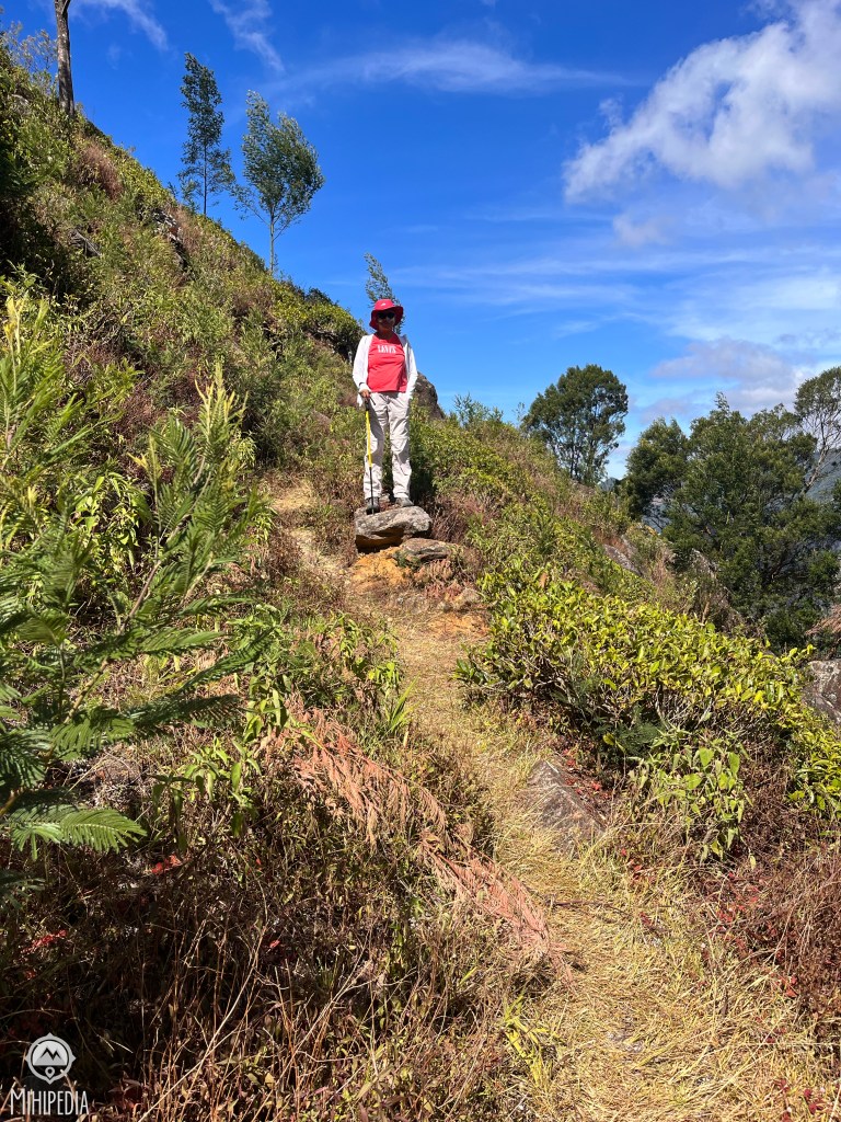
We emerge into a clearing of tall grasses that appear to mirror the colors of autumn. What a beautiful contrast.
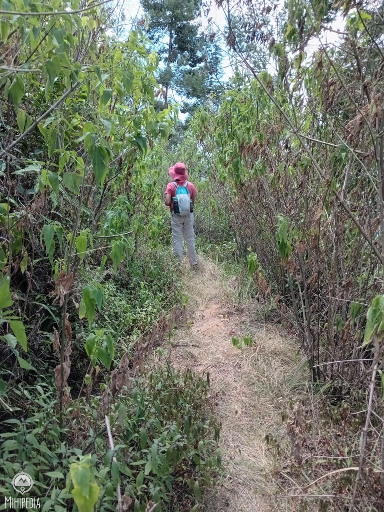
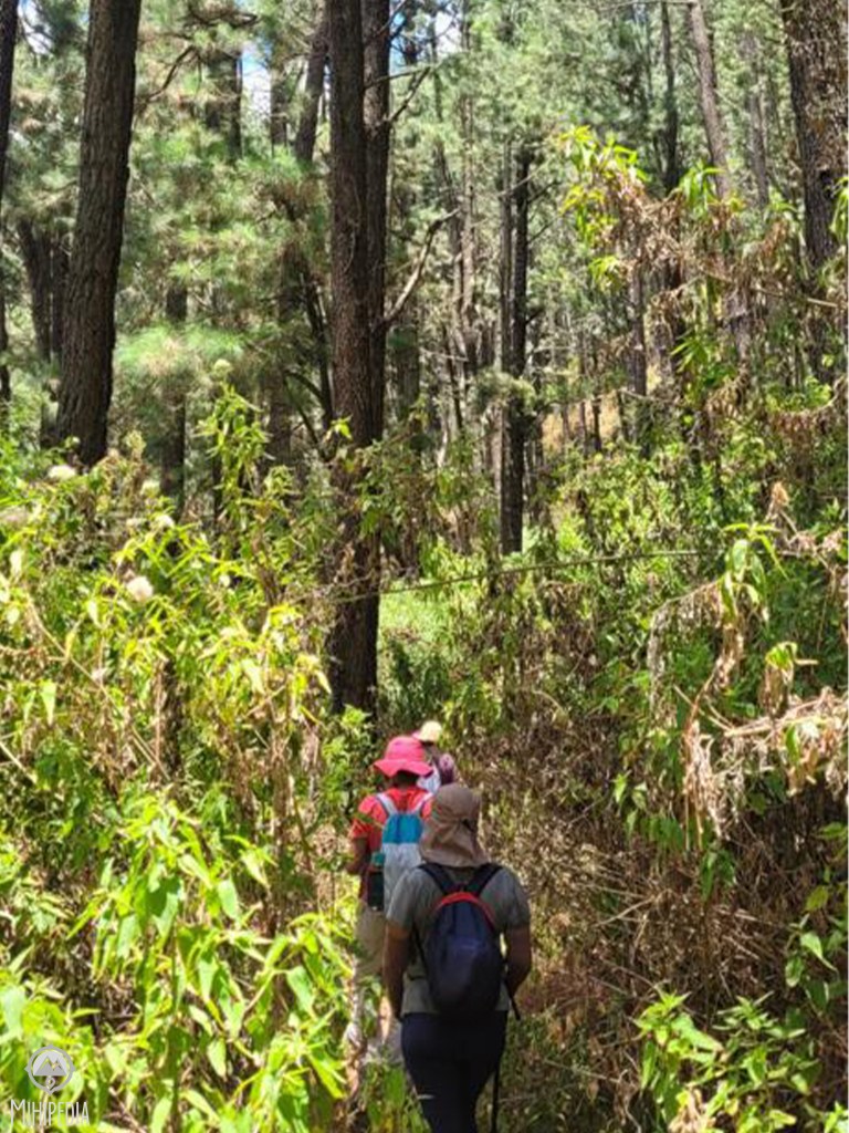
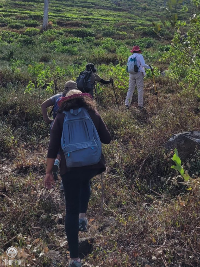
There are many miles that we walk through thick jungle, not knowing what to expect around the corner. But apart from a couple of monkeys and goats, we exit safely from any untoward hazards. Thankfully, thus far, our sole companions have been a couple of goats, wholly engrossed in their own culinary pursuits.

Soon we come to the Bend View Point and walk down to the Idalgashinna Train Station just in time to see an oncoming train. At this point, we make a decision to hop onto a train to Haputale. The train is packed like a tin of sardine. But we manage to squeeze our way in until the next station.
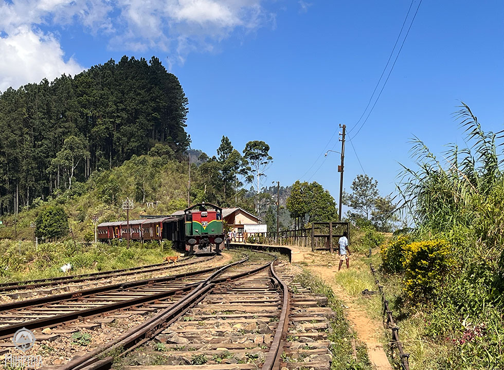
Nestled between the Haputale and Ohiya railway station, the Idalgashinna Railway Station is considered to be the most picturesque stations in all of Sri Lanka. It was built in 1893 during colonial era and still retains a certain charm.
With the sun scorching above, we decide to forgo the last segment of the trail and make our way back to the hotel. Nevertheless, among the seven trails I’ve explored thus far, this one stands out as one of the best. It was undeniably challenging, as it led us through a variety of terrains, but each step along the way was filled with excitement and adventure.What a day!
Good to Know:
The hike took us just over 5 hours, including stops for lunch and refreshments.

Many a time we have veered off course only having to retrack. Some of these tracks are quite deceiving and it is vital that the GPS is followed diligently.
Wear good hiking shoes and a hiking pole.
Carry lots of water and snacks.
Do not litter.

Admire your adventurous spirit. We too might do this trail on the 1st, but with some modifications. Idalgashinna, Udaveriya to Banbarakanda
LikeLike
This is a super trail. So many different terrains which makes it very interesting. Very much like trail 2. Let me know how your trail goes.
LikeLike
What were your start and end points? Our’ is going to be in the reverse. Idalgashinna, Udaveriya to Bambarakanda Resort.
LikeLike
We started at the old factory in Udaveriya, climbed over the mountain until we ended up at the Idalgashinna Railway Station. The trail is unkempt and unmarked so be very careful to follow your GPS. Enjoy!
LikeLike
Thanks for the tip about the trail. We were on it in May 22. Yes it was overgrown and precarious as it started raining just as we entered that bit of the trail.
When we did it in 2018, the path through the Idalgashinna forest was fairly clear and visible, as people had used it.
LikeLike
I use the All Trails app which I find easier to navigate. The other popular app is Wikilocs. Please share photos of your trip!
LikeLike
https://www.facebook.com/media/set/?set=a.10159301397888220&type=3 Hope this link works
LikeLike
For me this trail was the best out of 4 I have done so far. The adventurous pathways were so exciting. Every clearing we came to had the most beautiful views. The weather was so good couldn’t have asked for more. So happy that Mihiri got me in to doing these hikes with her. I must say the rest of the gang were fun too.
LikeLike
You are so right about the weather. We were so lucky! And thanks for coming along on these hikes. You are an inspiration! We have the perfect ‘gang’ 🙂
LikeLike
Pekoe trail 12 has been the most exciting and enjoyable trail for me out of the few I have completed thus far. The terrain we trekked on was amazing, even if it was rough at some points. The change in vegetation from tea fields to thick green forests to pine and eucalyptus patches iwas wonderful to experience. Scaling over and crawling under fallen eucalyptus trees to stay on track and to end it all on a crowded train to Haputale was fun. Thank you Mihiri. i look forward to you organising more trails like this and inviting us to join .
LikeLike
Thanks Krishny. In look forward to many more of our awesome hikes together!
LikeLike
Pekoe Trail Sri Lanka – Hiking & Camping
Haputale is my favorite hiking area in Sri Lanka. The base of many tours I have done past 23 years. I hiked sevaral times on the Kalupahana Road (Devils Staircase) between Udaveriya and Bambarakanda waterfall. An unique landscape like no other in Sri Lanka. Amazing views and nature. The most beautiful path is the lonesome zigzag road up to Horton Plains. I saw ‘snowy hills’ from bushes full of white flowers. A “must go area” for nature lovers. It should be well protected under special law like forest reserves.
Thanks for sharing your story and photos. I will share it to our facebook group: Pekoe Trail Sri -Lanka Hiking & Camping.
It’s our aim to be a tourist information for all visitors of the Pekoe Trail. New members and stories are welcome.
LikeLike
Thanks Oliver. It sure is a fabulous destination for hikes. My next hike is to do the Kalupahana trek via Devil’s Staircase. And thanks for sharing my story too.
LikeLike