
There are two kinds of Pekoe Trail days. The ones where everything goes according to plan. And then there are the ones that become stories you’ll be telling for years.
Pekoe Trail 04 firmly belonged in the second category.
The day began at 4.30 a.m. in Colombo with Hemanthi, high on enthusiasm, low on sleep, and blissfully unaware of the chaos that lay ahead. Google Maps confidently assured us that we’d be in Pundaluoya in no time. Our first mistake came surprisingly early. We stopped at a roadside bakery that looked promising from the outside but turned out to be one of those places where the less said about the food, the better. In hindsight, it was probably the universe’s first warning that things weren’t going to go according to plan.
Next, the accommodation I had reserved online looked absolutely dreamy. Cosy rooms. Beautiful gardens. Mountain views. Basically, the kind of place that fits perfectly into my preference of idyllic home stays. Reality? Let’s just say the photographer deserves an Oscar. It was the catfish of accommodations.
So, there we were. With patchy mobile signals and no chance of booking another place. Enthusiasm rapidly evaporating. We did what every seasoned traveller eventually learns to do. We improvised.
Which is how, completely by accident, we ended up back at Glenloch.
Cue déjà vu. Exactly two years ago, after finishing Pekoe Trail 03 (on August 18, 2024), we had stayed here. Same misty hills. Same warm welcome. Same feeling that perhaps the universe occasionally cleans up the messes it helps create.

An hour later than planned, backpacks on, raincoats packed, leech socks proudly modelling the latest HillCountry fashion, we finally stepped onto Pekoe Trail Stage 04 at Tavalantenna leading onwards to Pundalu Oya.
The weather wasn’t exactly welcoming. Grey skies hung low over the tea estates, threatening rain without ever fully committing.


This section of the Pekoe Trail had been badly affected by the Ditwah floods in November 2025, and the scars were still everywhere. Landslides had ripped through hillsides, homes had been swept away, and around 48 people lost their lives in the wider disaster. Walking through the area was a sobering reminder of the power of nature and how quickly a familiar landscape can be transformed.

And this is certainly not a manicured hiking trail. Parts of the route is overgrown and unkempt, with trail markings missing, obscured or simply difficult to spot, particularly after heavy weather. The more recent rains and landslides had made some sections even more challenging, with the trail occasionally becoming more of a suggestion than a clearly defined path.


Having been forewarned that parts of the trail were damaged, we carried on. Because optimism is a powerful drug.
The first few kilometres were beautiful enough to make us forget all the warnings. One of the early highlights was crossing the Ramboda Power Plant bridge, with the waters surging below us. With the misty mountains rising around us and the river thundering beneath our feet, it was one of those moments when you stop, take it all in and think, this is exactly why we hike.
https://www.youtube.com/shorts/_Io0A1201sI
Watch this short video

This trail isn’t just about scenery. Kotmale is steeped in history and legend. The rugged, inaccessible terrain around Kotmale and Pussellawa is said to have provided refuge for ancient kings of the Gampola Kingdom. According to tradition, Prince Dutugemunu hid in the region while fleeing his father, King Kavantissa. Centuries later, Kotmale again became a place of refuge for the Kandyan kings and the sacred Tooth Relic during times of political upheaval, including the period surrounding the British occupation in 1815.


The route winds through scattered homes and small villages, where the trademark Sri Lankan curiosity is never far away. We meet friendly smiles, cheerful greetings, curious questions and perhaps a few bemused looks as we pass by, particularly when villagers spot us- two female hikers making our way through the tea country.
Until kilometer ten. The trail… simply… stopped. There were no markers, no visible path, no mobile signals and no reassuring sign that we were still on the Pekoe Trail. All that lay ahead was a steep slope of loose rocks and boulders.
Naturally, instead of asking ourselves sensible questions like, “Perhaps we’re lost?”, we confidently concluded, “This must be a shortcut.”
It was not.
What followed was forty-five minutes of what can only be described as an audition for a survival documentary.
We scrambled up impossibly steep boulders. Loose rocks disappeared under our feet. Thorn bushes reached out like they had personal vendettas against hikers. We clung onto rocks for dear life while the thorn bushes clung onto us with equal determination. Leeches were naturally delighted to see us.
Every time we thought, “Surely the trail is just over this ridge…” the mountain laughed and produced another vertical wall.
After forty-five exhausting minutes, I finally reached a point where there was nowhere left to go. Just an almost vertical climb that neither common sense nor gravity would approve of. That horrible sinking feeling settled in. We’d climbed the wrong mountain. Now we had to climb back down.
Descending proved even more nerve-racking than the climb up. Every step sent loose rocks skittering down the slope, and I found myself silently willing the rain clouds to hold off for just a little longer. If those rocks got wet, this would go from “bad decision” to “headline news” in a matter of minutes. Somewhere along the descent, gravity finally caught up with me. Not dramatically enough for an action movie, but fast enough to send me tumbling about five feet down the slope, landing face first with a mouthful of maana grass. I can now confirm it tastes exactly how you’d expect.

As if that wasn’t enough, somewhere during that ridiculous scramble, both soles of my hiking shoes decided they’d had enough too. By the time we made it back down, I’d managed to lose not only my way, but also my soles.
Bruised, scratched, covered in mud and with our pride completely demolished, we finally looked back at what we had just climbed. And then came the horrifying realisation. We hadn’t found a shortcut at all. We had just scrambled up one of the fresh Ditwah landslides! Quite possibly, we were the only two people daft enough to have ever attempted this particular route. A stupid, crazy decision that, thankfully, in retrospect makes for a great story.
But at this late hour, with the threat of rain, our only remaining mission was to find a tuk-tuk.
Easy enough. Except we’d spent the morning cheerfully telling every friendly villager that although we were born in Sri Lanka, “…we ended up in Sweden!“ It was our little joke, because in these remote villages, people are often delighted to meet foreigners and genuinely curious about where you’re from. It sounded hilarious at the time. Less hilarious when we suddenly needed to explain, preferably in Sinhala, that we were hopelessly lost, slightly injured and desperately required transportation.
Our ideal communication method failed us. Our charades flourished.
Somehow, between pointing, limping and laughing at ourselves, we managed to communicate our predicament. With the help of some incredibly kind villagers, we were eventually escorted back to a more populated road where, thankfully, a tuk-tuk was easy enough to find.

A wonderfully kind tuk-tuk driver rescued the two mountain “goats” who had clearly overestimated their climbing abilities.

Back to Glenloch we went. Bruised. Battered. But not beaten.
Looking back, Pekoe Trail 04 wasn’t the stage we’d planned. What we got was Pekoe Trail 04 version 2.0.
It wasn’t the distance we’d hoped to cover. It certainly wasn’t the route marked on the map. But somehow, it’s become one of the most memorable days on the Pekoe Trail so far. Because years from now, we probably won’t remember the perfect kilometers. But we will remember the fake hotel photos, the accidental reunion with Glenloch, the mountain that wasn’t the trail, the taste of maana grass and the day I lost my way, and my soles.
And the absolute certainty, somewhere halfway up that impossible slope, that Hemanthi and I had completely lost the plot.
Which, if we’re being honest…is not the first time and usually where the best adventures begin.


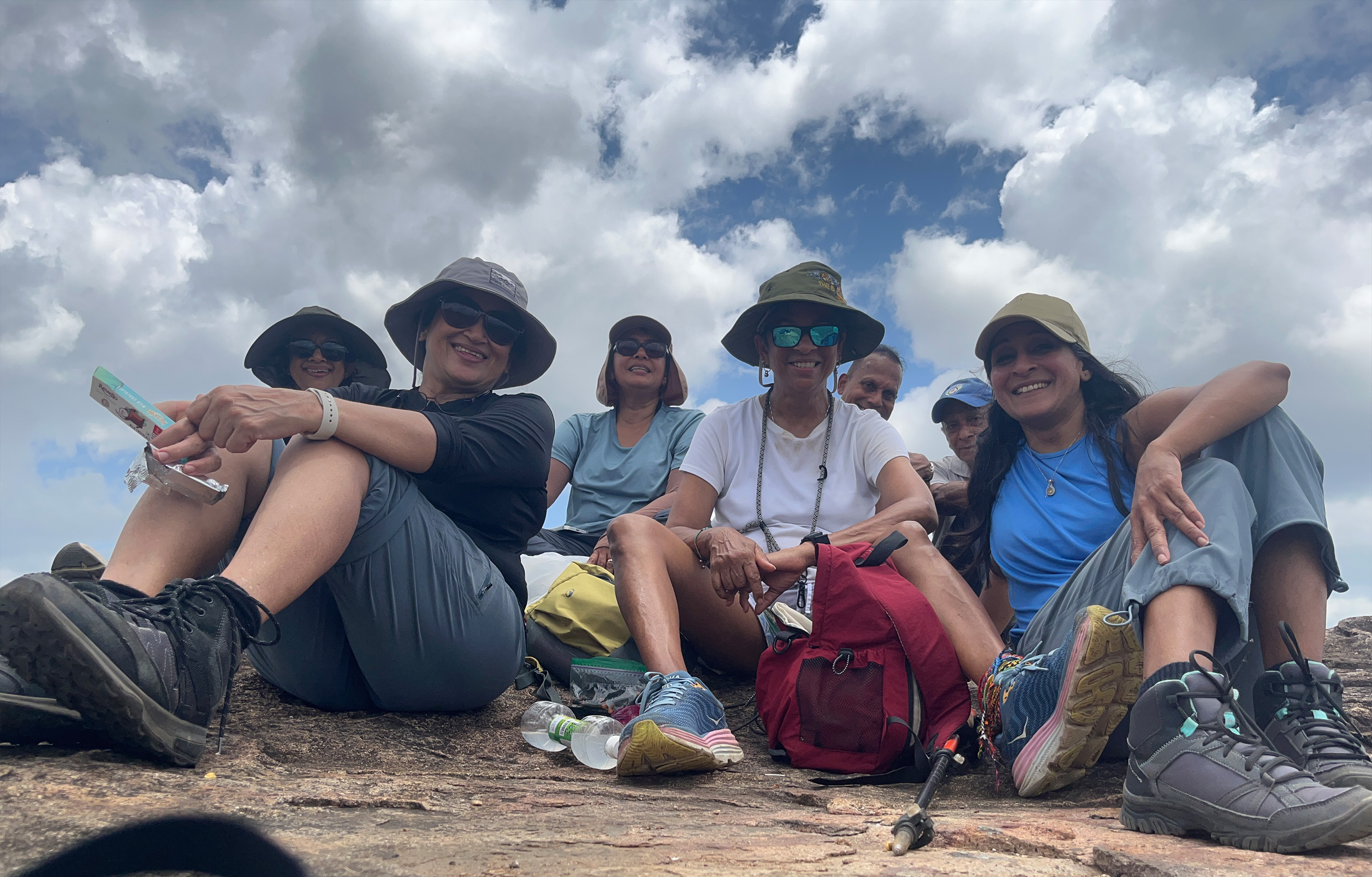


Mihiri I now feel we have qualified as Rock climbers after scaling a ditwa land fall full of boulders.
We also became Swedish tourist
When the curious & friendly villagers asked us from what country lol. We instantly became dual citizens too.
This was an adventure never to be forgotten!!
Looking forward to more of this fun filled adventures in the future too.
haha…yes. Self-taught- in language and ability! We do end up doing the wrong thing most times. And end up with some great stories to tell 🙂